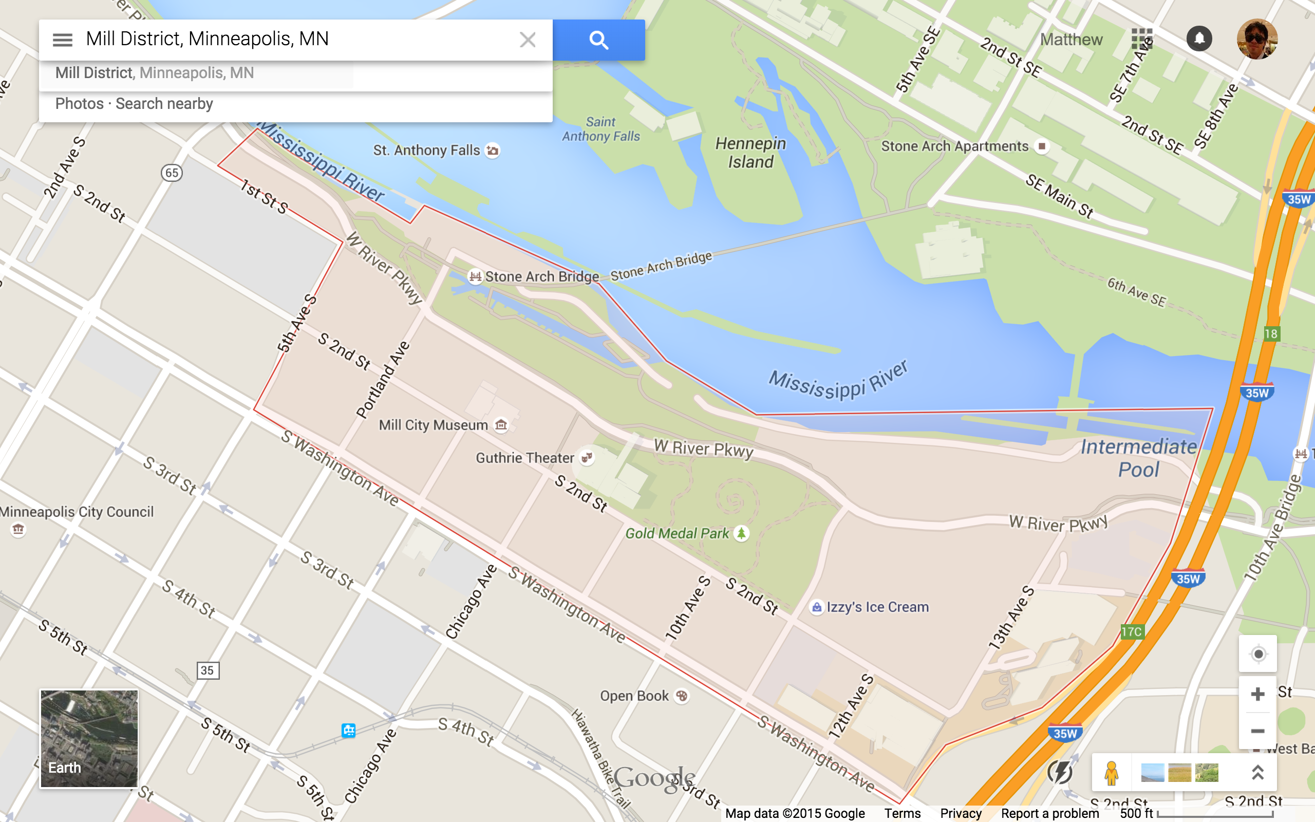
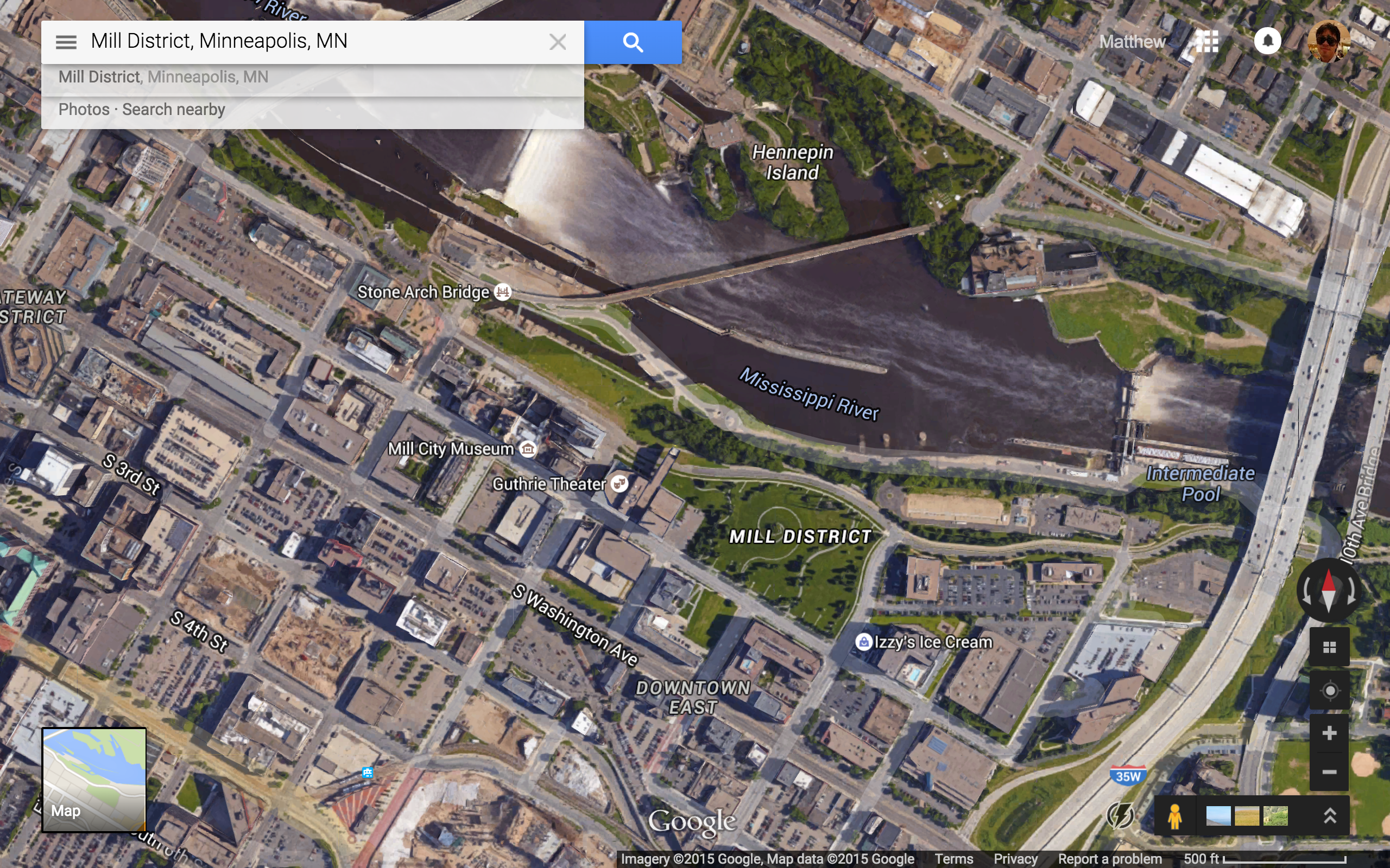
Mill City:
.
.

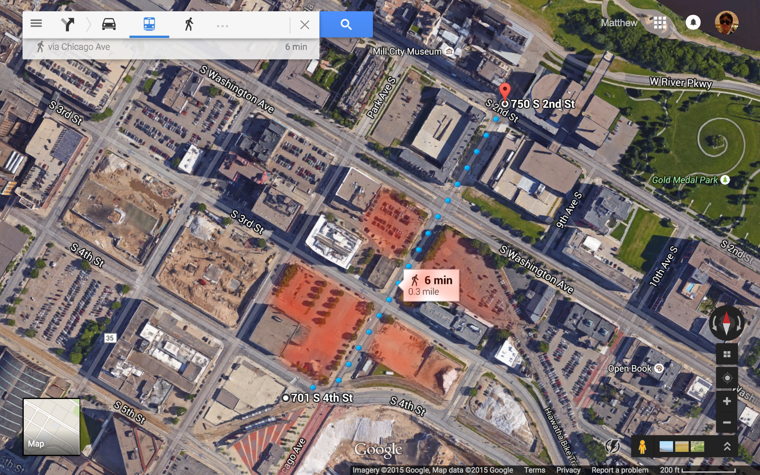
Short Block Index ~3.5

Google Street View from Chicago Ave & S 2nd Street:
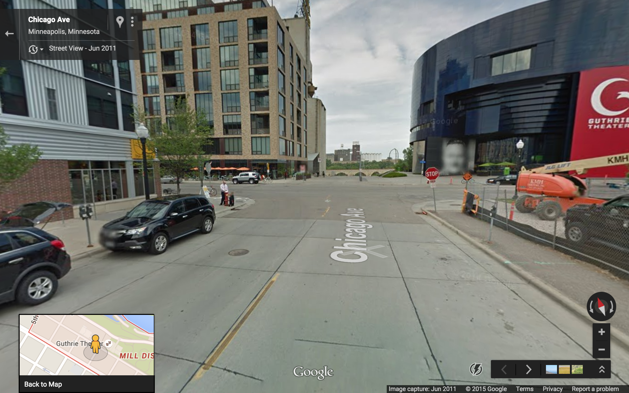


The border of the “Mill District” is defined by this seven lane hell-scape:
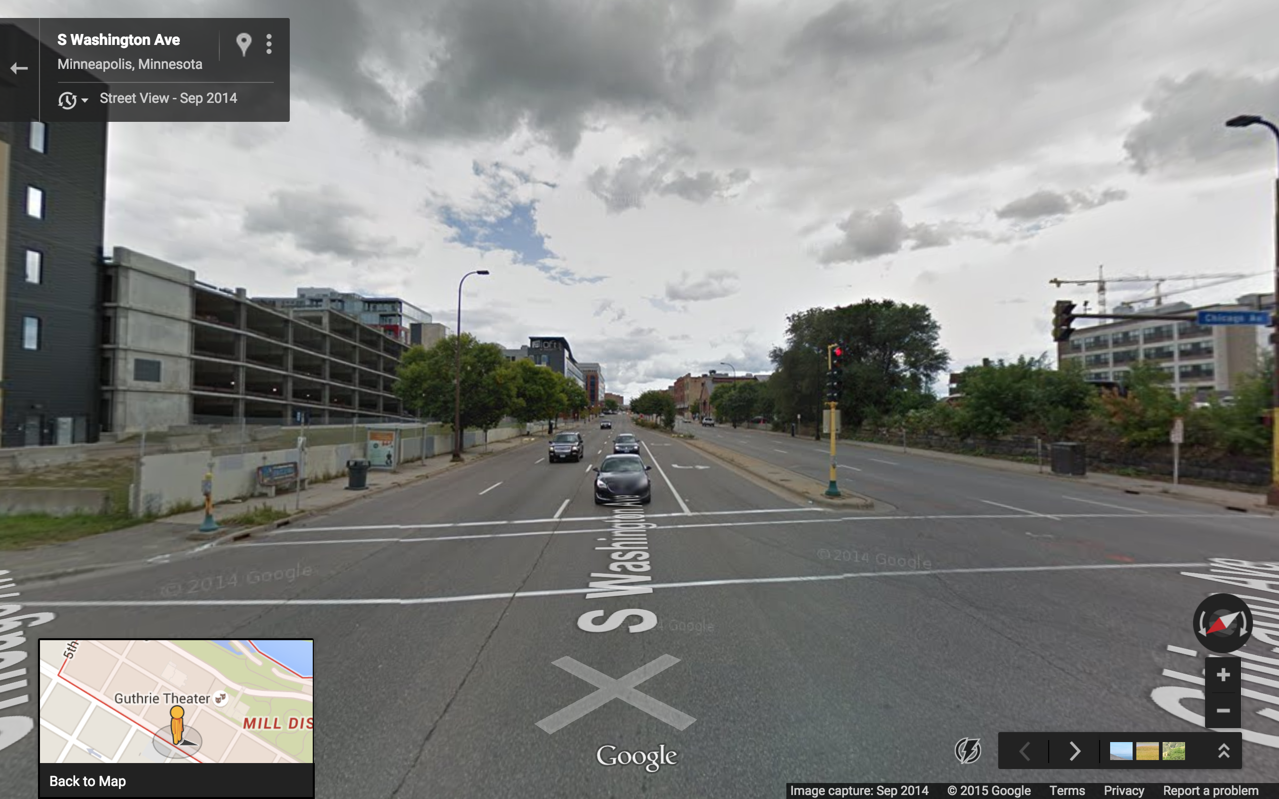
.
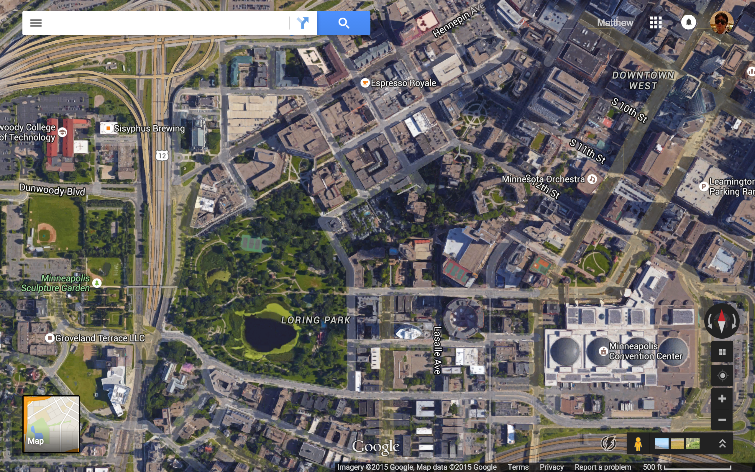
Loring Park East:

 .
.
At 100 foot scale:
 Short Block Index ~3.5 (same as Mill City)
 .
.
Google Street View from LaSalle Ave & W 14th St:
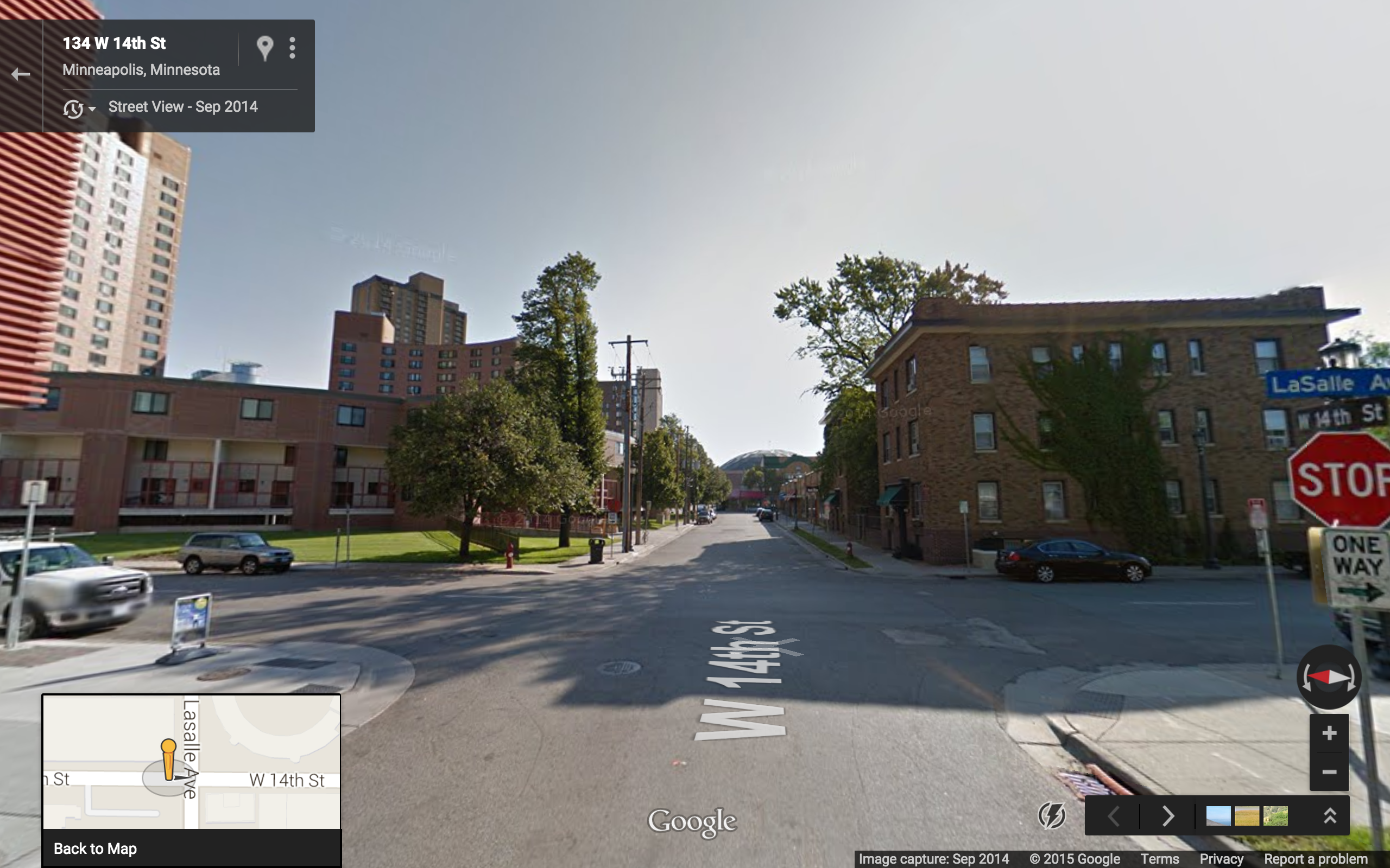

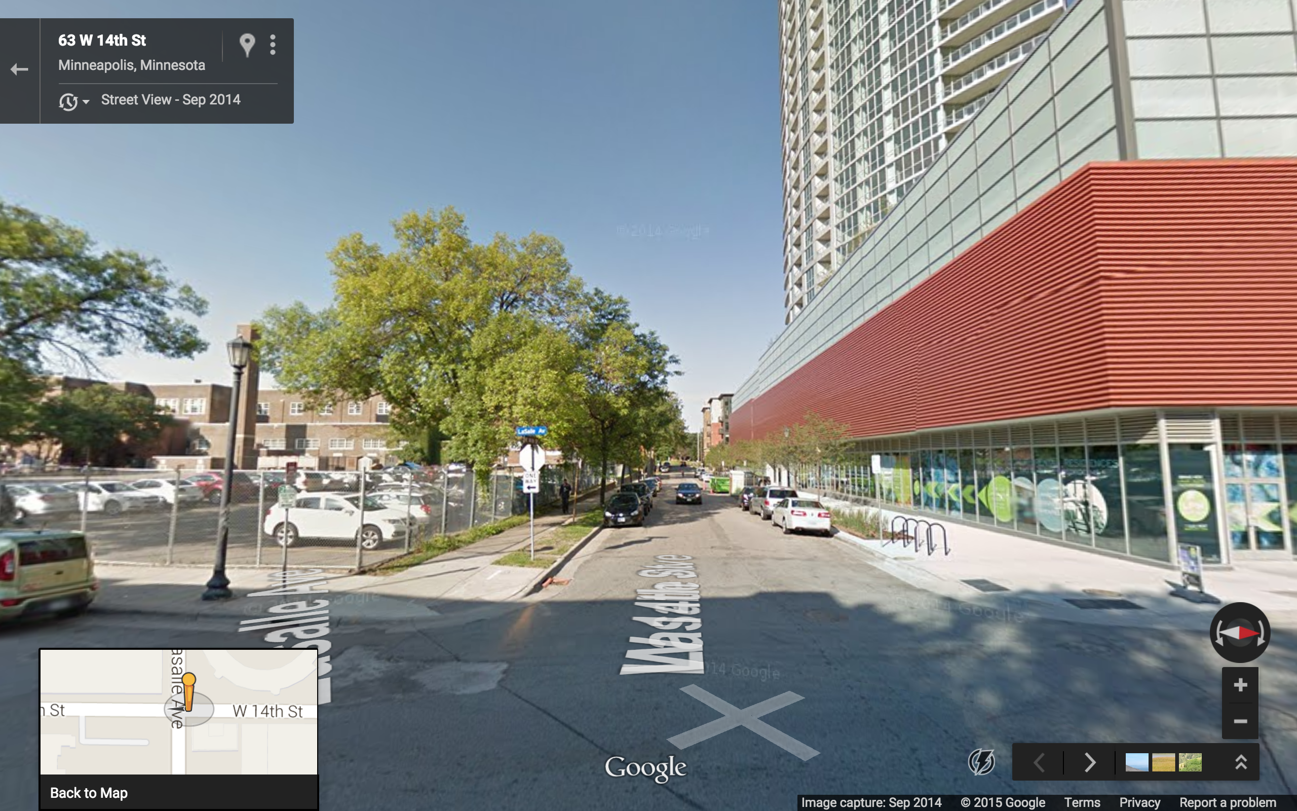
.
Category :: Mill City :: Loring Park East
Short Block Index :: 3.5 :: 3.5 [c.f. Kobe Motomachi 5-Chome’s 27]
– – walkscore.com stats:
Walk Score :: 83 :: 93
Transit Score :: 93 :: 86
Bike Score :: 93 :: 95
# restaurants at 100 ft scale :: 6 :: 7
# shops at 100 ft scale :: 1 :: 3
Caveats:
The walkscore numbers probably overestimate the walkability of the Mill City neighborhood. We can see in Google Street View that the streets in Mill City tend to be very wide. This means not only greater time required for pedestrian street crossing, but also higher vehicular traffic speeds.
Winner:
Loring Park East
Other Considerations:
Mill City’s proximity to the University of Minnesota was not accounted for in this analysis, but could certainly be a deal-maker for students and professors there.
Looking Forward (2030?):
At the current time, the nearest light rail station (Downtown East) is functionally severed from Mill City by several blocks of deserted parking lots. However, if these blocks were developed, the area could achieve a sufficient perception of safety to make the Downtown East station a convenient transit stop for the Mill City neighborhood.