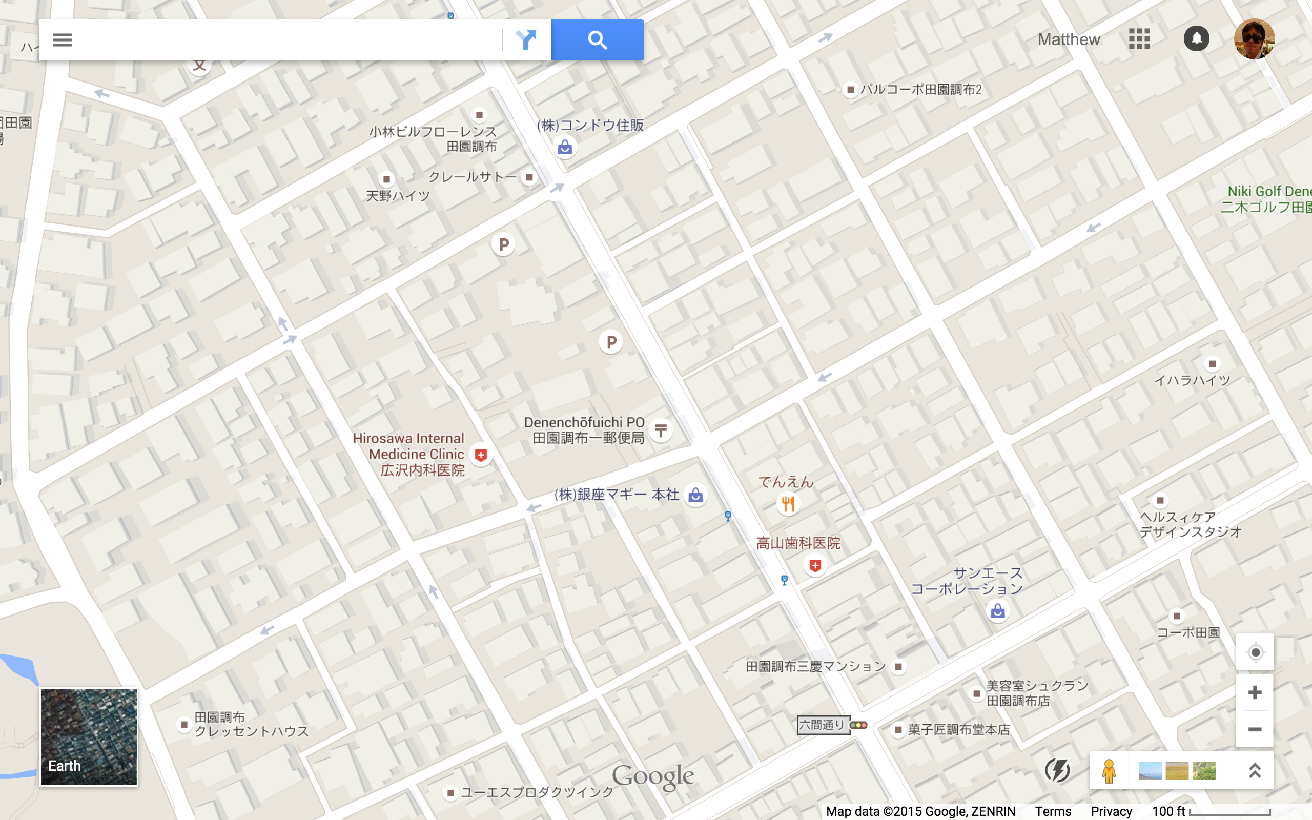
Denen Chofu is a planned development located 16 minutes south west of Shibuya Station (on Tokyu train -東急東横線). It is said to be inspired by “garden city” developments such as those around London. However, the urban structure of the neighborhood seems basically similar to modern Tokyo, with the notable irregularity that the number of shops and businesses is much lower.
South East Denen Chofu
South East side of Denen Chofu. At the 100 ft scale, the Short Block Index is approximately 19 (visible here: 29 three-way and 24 four-way intersections).
.
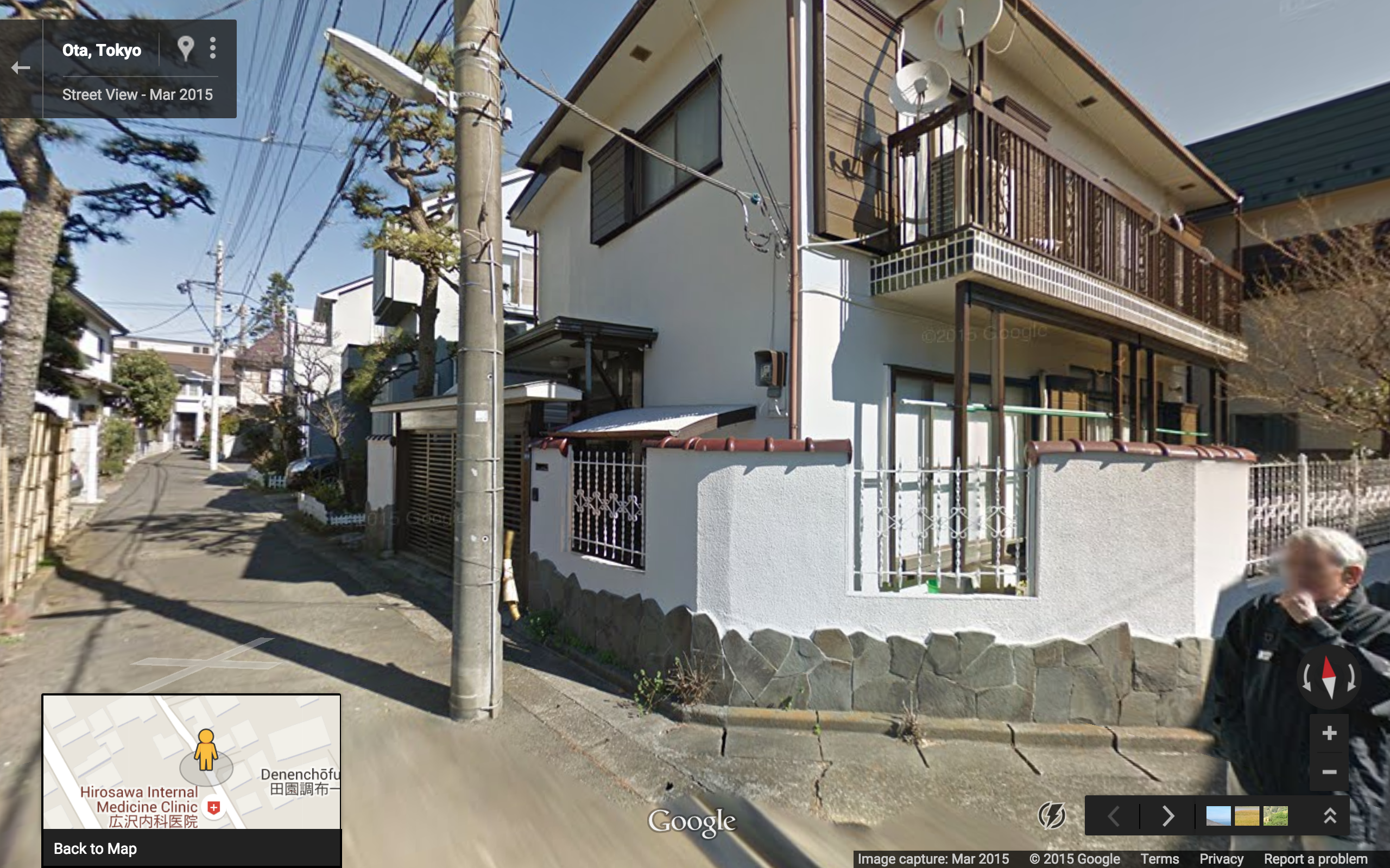
Here we see a typical mixed modality alley. Cars, bikes, and pedestrians all share this narrow space.
.
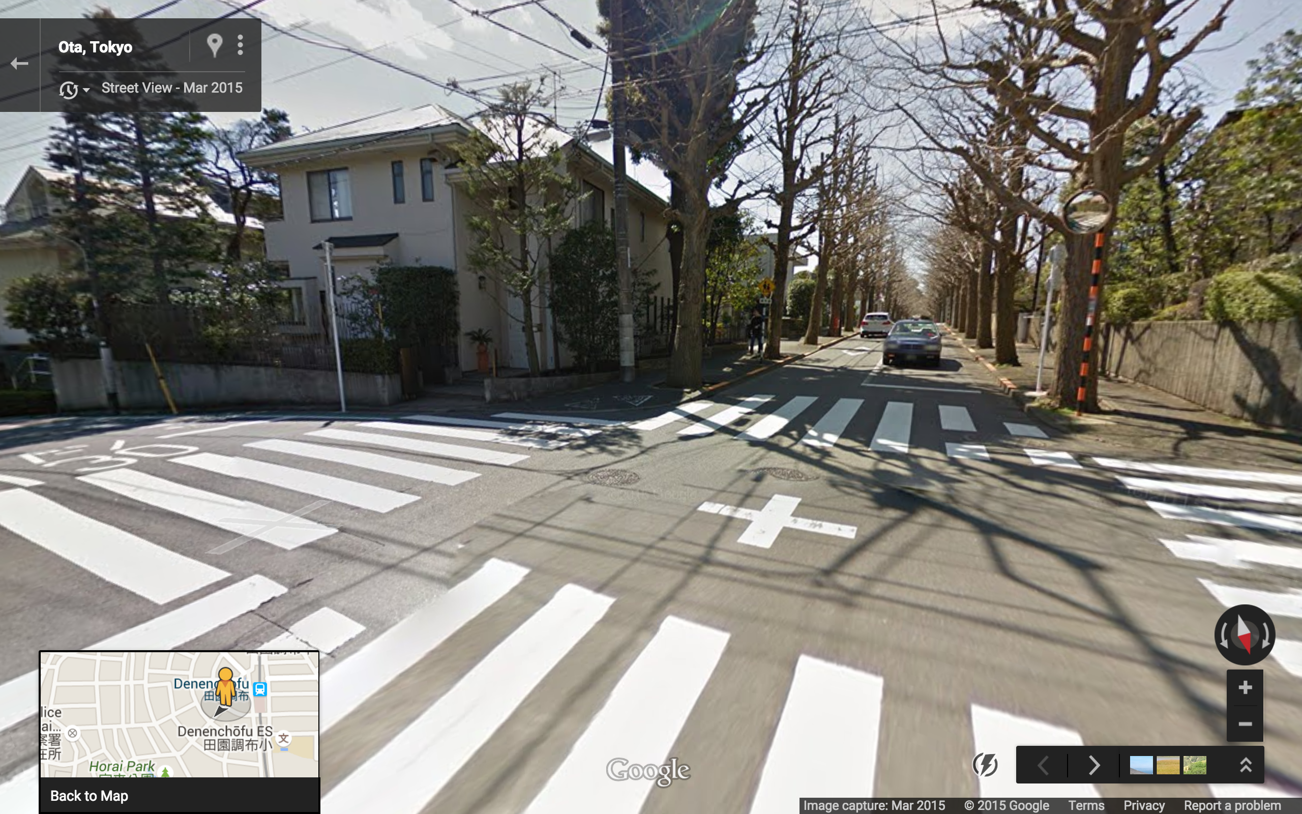
Two way avenue. Note the buildings fronting directly on the sidewalks. Sidewalks seem a bit skinny by Tokyo standards, but the zebra striped pedestrian crossings are bold as usual.
.
This two way avenue may look wide on Google Maps, but each lane is just barely wide enough for a car (note the truck driving on top of the lane marker).
.
North West Denen Chofu (in front of Denen Chofu Station)
In front of Denen Chofu Station (visible in upper right). At the 100 ft scale, the Short Block Index is approximately 12 (visible here: 18 three-way and 14 four-way intersections).
.
Again we see the usual zebra stripes. Note also the 30 km/hour speed limit, and the pipe bollards to protect pedestrians on the curved road.
.
Two cars passing each other.
.
Konbini Index
8 konbini in the immediate vicinity of Denen Chofu (500 ft scale).