Yokohama Photo Tour: Moving Sidewalk (動く歩道) from Landmark Tower
Much like Ebisu Garden Place, Yokohama Landmark Tower is connected to the nearest train station (JR Sakuragicho) by a fully roofed moving sidewalk. #桜木町駅 #連絡橋 #ランドマークタワー
The moving sidewalk is highlighted in light blue; other skyway level sidewalks (not moving) are highlighted in dark blue; Sakuragicho Station is in green.
.
Although the moving sidewalk is not directly connected to the station, the gap between the two is fully roofed:
No walking in the rain. Green highlighted area is fully roofed. JR Sakuragicho Station on left, moving sidewalk on right.
.
Note that the entrances to the moving sidewalk are wide open to the public and easy to find visually (c.f. the private and semi-hidden entrances to the Minneapolis Skyway System).
.
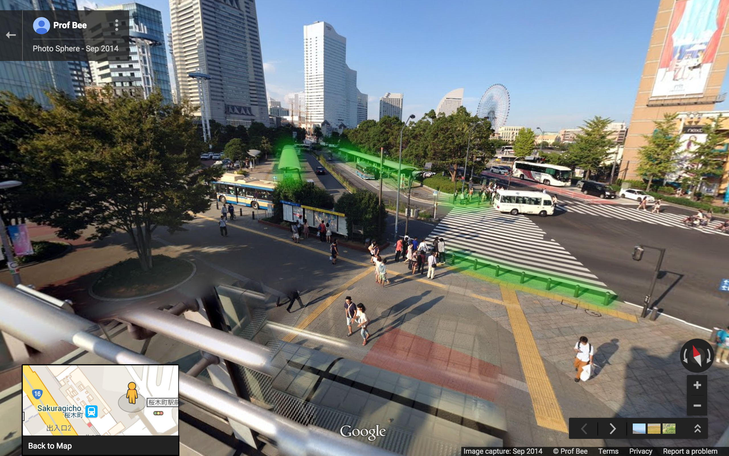
Below the moving sidewalk structure, looking south.
.
The north end of the moving sidewalk (in light blue), and additional skyway level sidewalks (in dark blue).
.
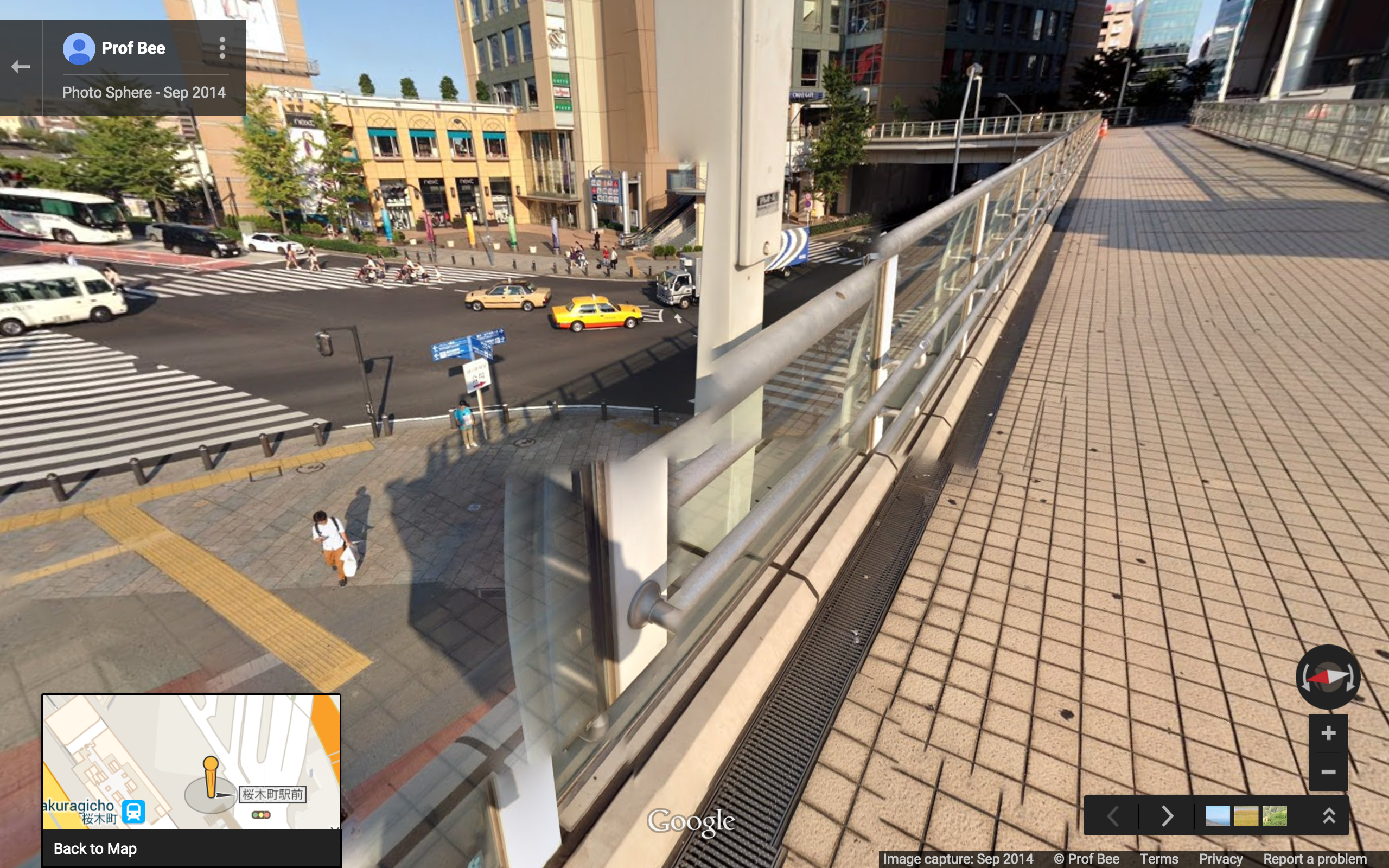
View from north end of moving sidewalk.
.
In addition to the moving sidewalk, there are quite a few non-moving sidewalks at sky level:
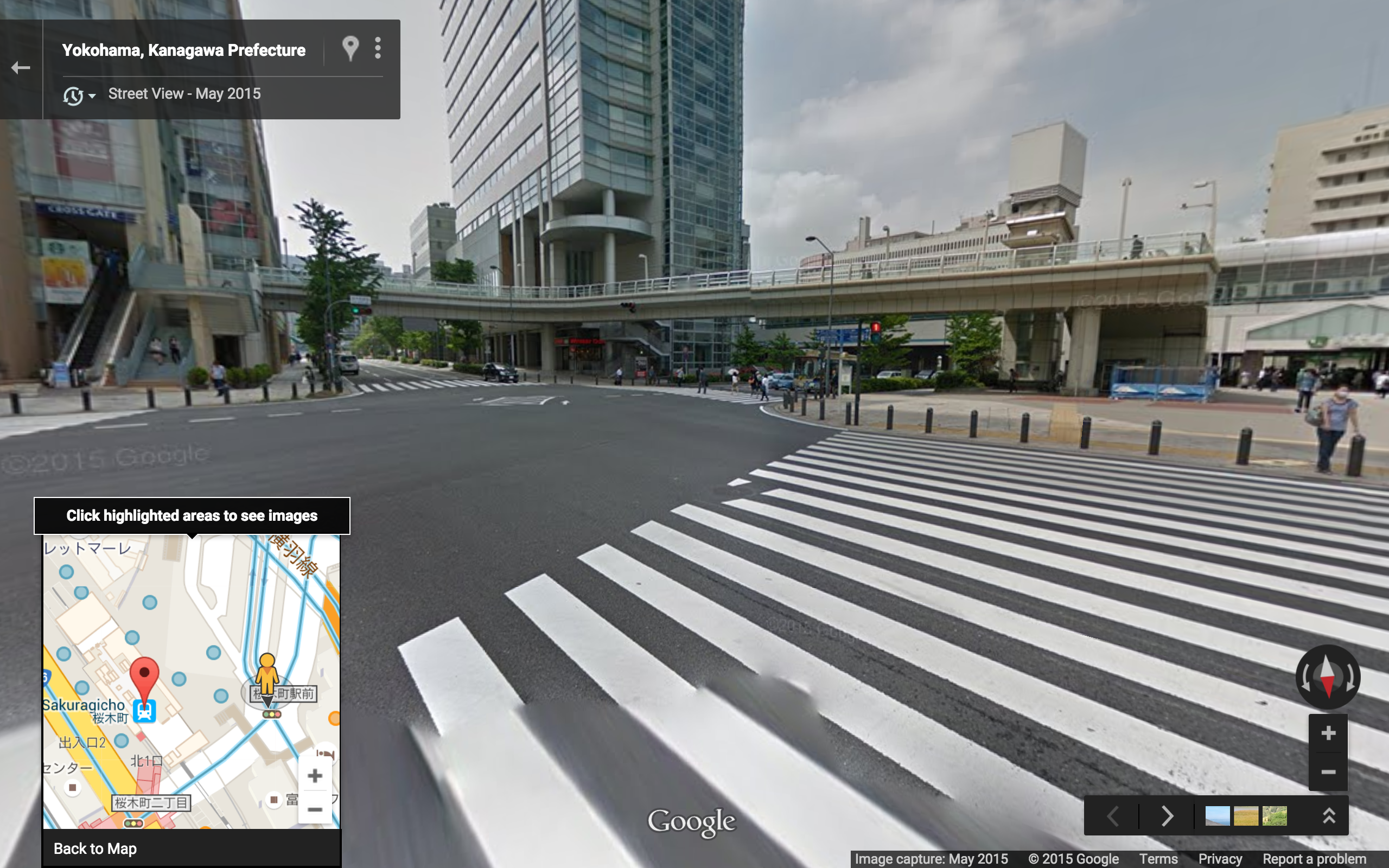
Note the wide zebra stripes, and the escalator (on left).View from skyway level.In addition to the wide zebra stripes, notice the bollards and fully roofed bus stops.
.
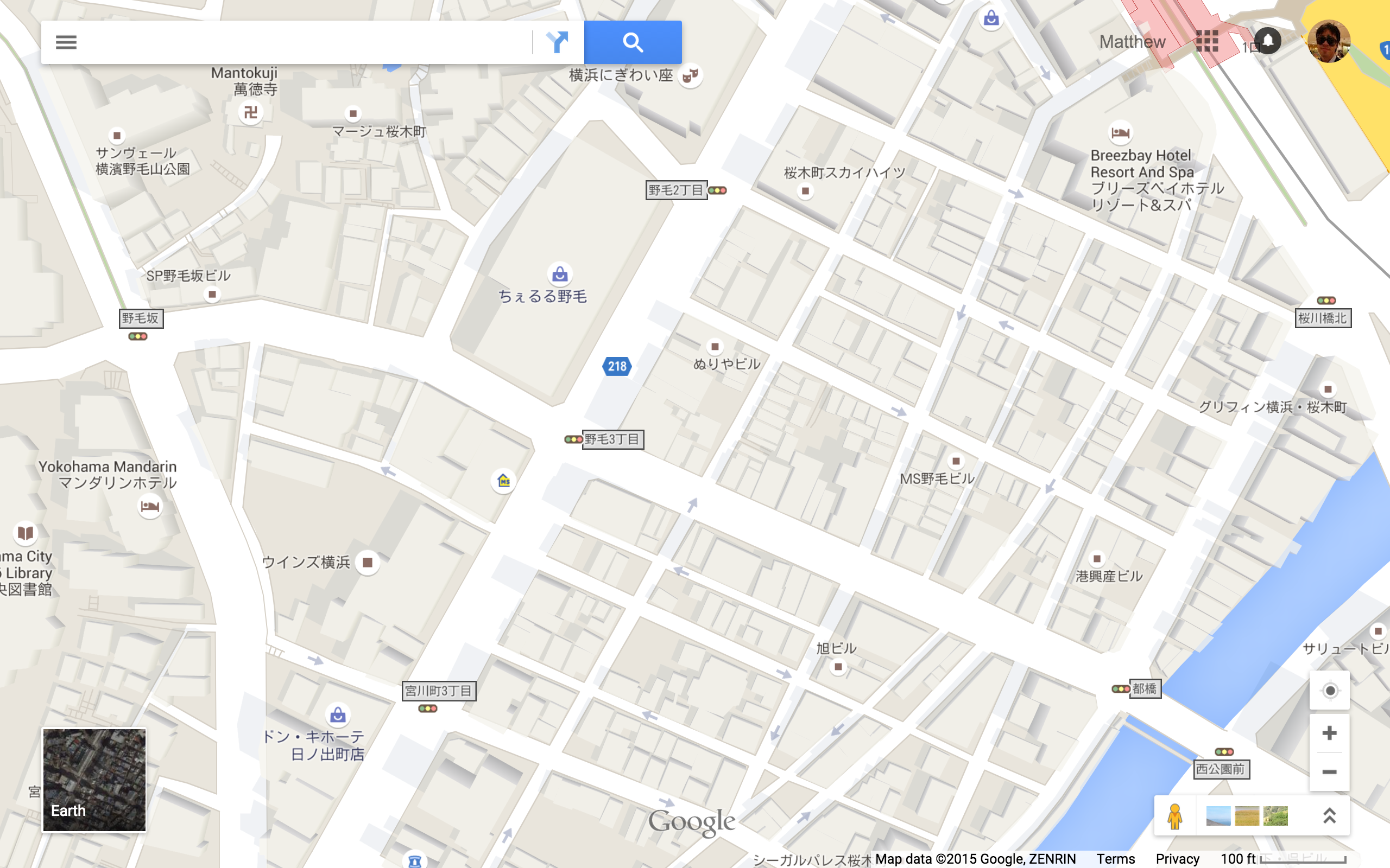
Sakuragicho Station area map. 100 foot scale.Satellite view of the same area, with skyway level sidewalks (and the underground portion of the station complex) highlighted in green.
.
View of the pedestrian bridge.
.
Incidentally, the Short Block Index in the area just south of the station is very high: