Pedestrian movement paths in Japanese cities can be decomposed hierarchically, proceeding from the narrowest residential laneways to the busiest shopping streets (near rail stations).
–
As described previously, the highest levels of the pedestrian hierarchy are completely separate from the vehicular network.
–
The following illustration shows the structure of these streets near Sannomiya station
- dark green: subway tunnels
- light green: shopping arcades
- blue: nightlife alleys
- peach: boulevards
- yellow: woonerfs
–
Hierarchy of Walking – Kitanagasadori, Kobe (神戸北長狭通)
Level 2. Woonerfs – slow and very narrow streets where cars and people mix.
 –
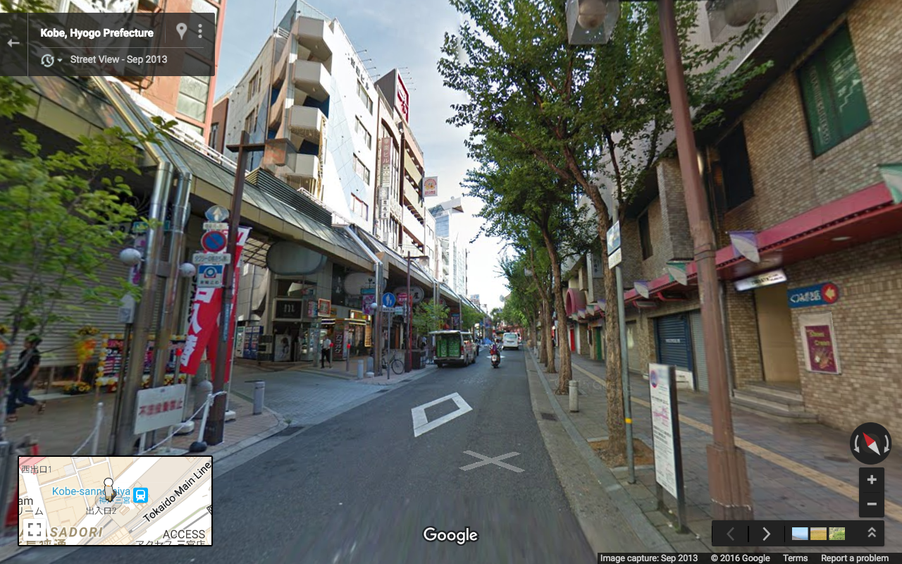
–Level 4. Boulevards – sidewalks with physically separated streets.
Level 5A. Tunnels & underground shopping malls connected to train stations.
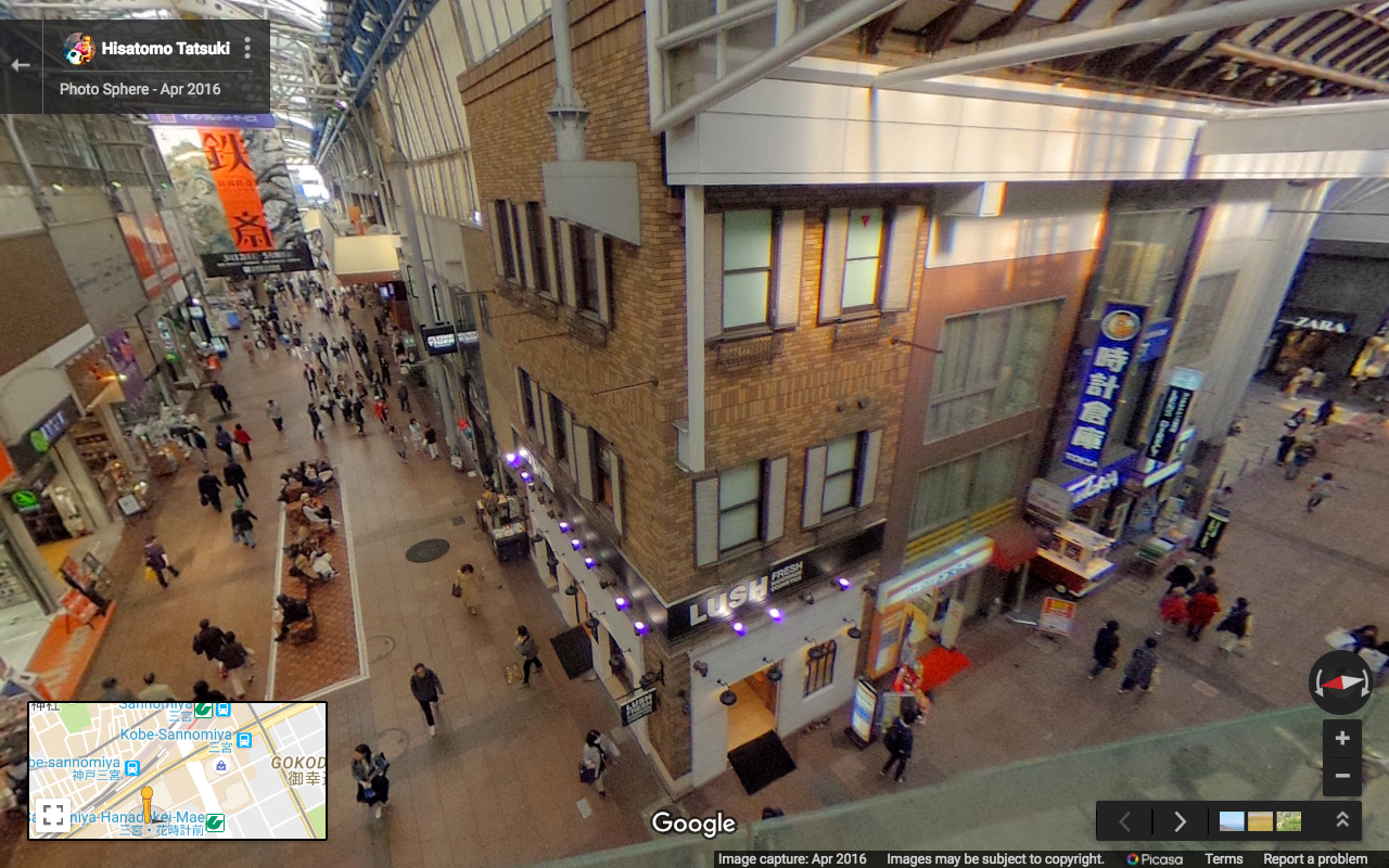
Level 5B. Shopping streets and arcades (usually connected/adjacent to train stations).
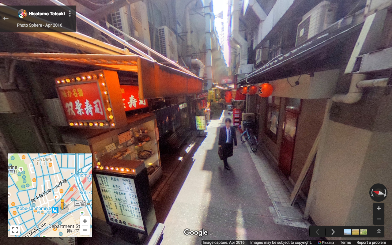
Level 5C. Nightlife Alleys – narrow alleys lined with bars, izakaya, etc (usually adjacent to train stations, e.g. Omoide Yokocho).
The alley below can also be seen in this video. Alley starts at 1:50.