
The area southwest of Kitano-cho (the western halves of 中山手通 & 山本通) is notable for hosting many educational institutions: St Michael Nursery, Kobe Kakyo Kindergarten, Kobe Elementary School, Shinko High School, Kobe Chinese School, and Kobe Yamate University. How safe are the streets for students walking to school?
As described previously, streets in Japan can be analysed hierarchically, and classified on a five rank scale. The streets in this area occupy only the middle ranks of the hierarchy.
In this diagram, woonerfs and narrow streets are highlighted in yellow, while boulevards are highlighted in orange/peach.
The red lines demarcate wider boulevards.

What is remarkable about this neighborhood is that among the higher rank streets – the boulevards that bind the the neighborhood together – not even one is more than a single lane wide. All seven of the highlighted boulevards are one-lane one-way streets.
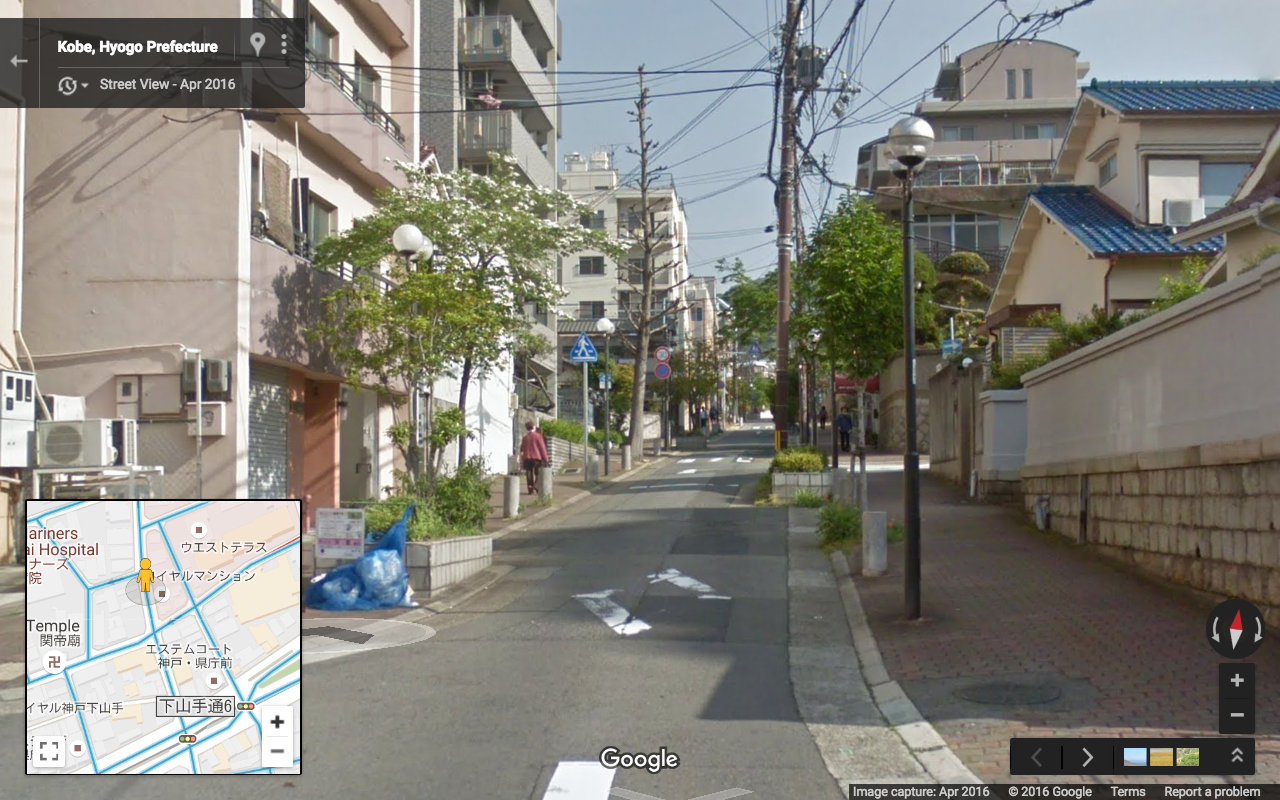
Here is an example of a local woonerf:

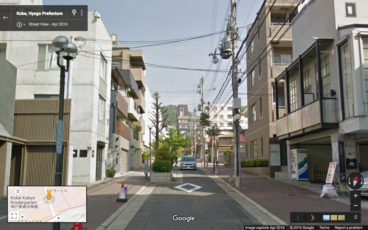
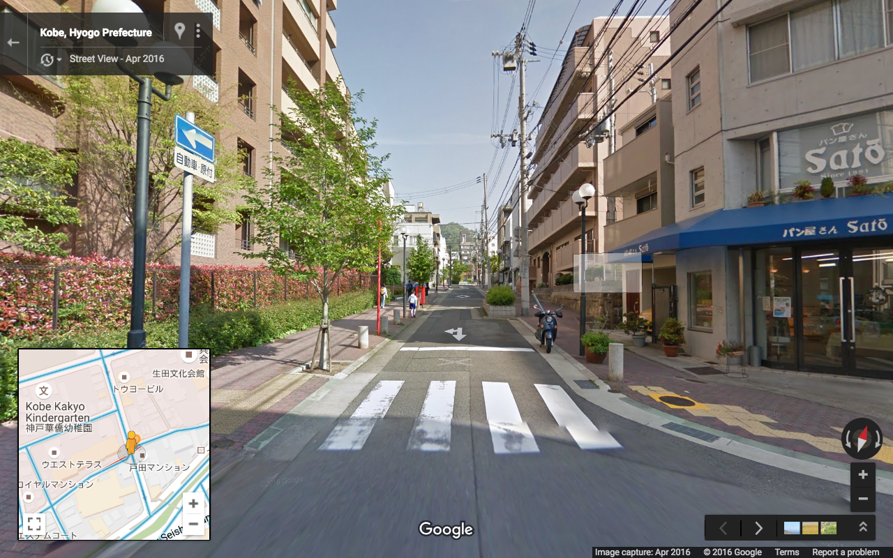
And here are photos of the one-lane one-way boulevards:

This last image shows in red a very particular subset of the neighborhood: it is the area which is walkable without crossing a single two lane street.
The Motomachi and Center Gai arcades are highlighted in green at the bottom.
