Walkable City – Jiyugaoka (自由が丘)


from-1806-feet
Pedestrian streets highlighted in orange

Jiyugaoka is one of five major town centers in Tokyo’s Meguro ward (目黒区), which is one of the city’s most densely populated wards, with 49,000 people per square mile.

The two train stations which intersect here boast combined daily boardings of approximately 150,000 passengers (CBRE data).

This commercial nucleus features a tremendous number of storefronts, all within a 6 minute walk of Jiyugaoka Station:


cocktail-campaign-http-www-jiyugaoka-abc-comactiongreenprojectpdfmap
32 stops on the local cocktail tour


map-http-www-d5-dion-ne-jp
78 boutique stores, restaurants, and teahouses


sweets-map-http-livedoor-blogimg-jpespacio_hairstyleimgsc6c64566db
25 sweets shops

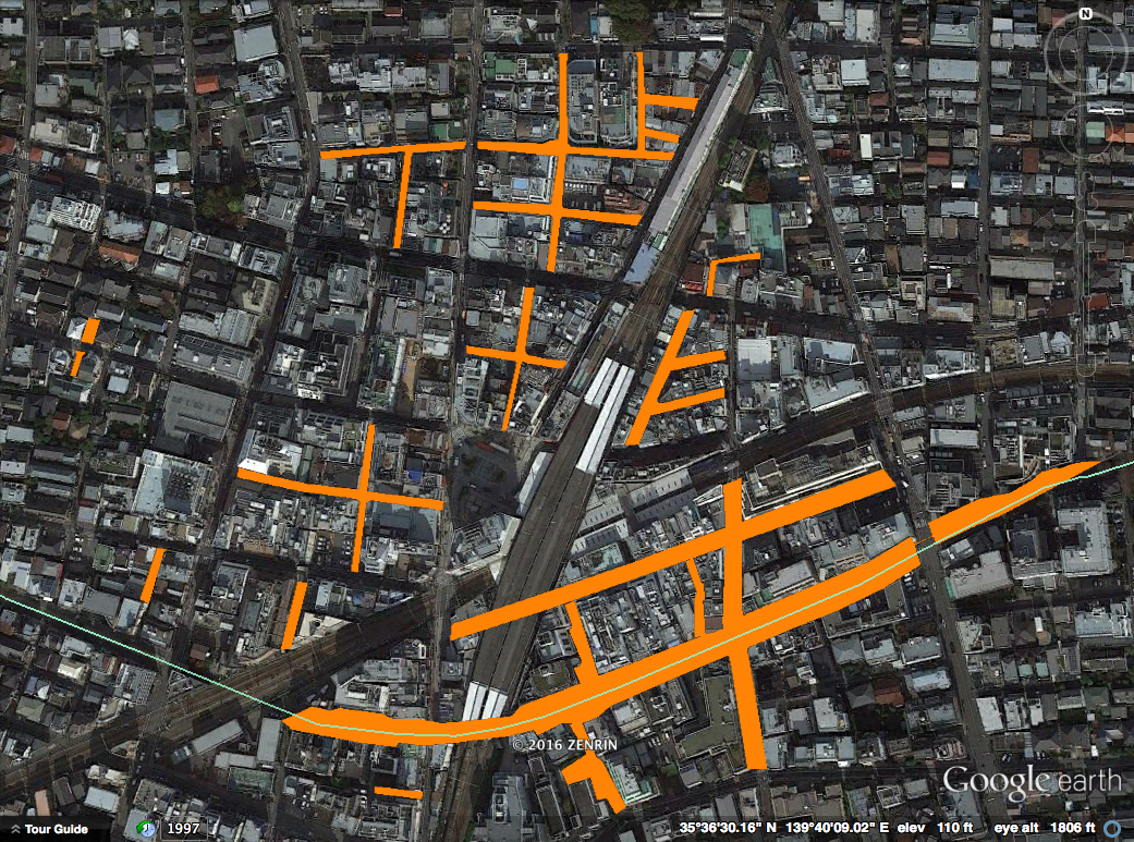
Actually, none of these special purpose maps show more than a fraction of the area’s true commercial density.  Examine the following screenshot from Google Maps:

highlighted-the-barkery-100-foot-scale


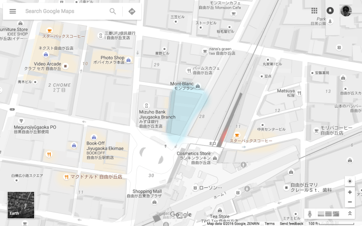
The video arcade, photo shop, book store, two Lawsons, and two Starbucks don’t show up on any of those maps.  But this map too fails to convey the full picture.  Note the flat-iron block (highlighted in blue) just north of the station plaza.

the-barkery-20-foot-scale

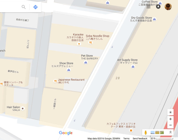
At the 100 foot scale, this block looks completely empty, but zooming in to the 20 foot scale, we see two restaurants, karaoke, a shoe store, and a pet store.  There is also a clothing store and an upscale watch/jewelry/glasses store that don’t show up on any scale.

In fact, the area has over 600 retail shops (CBRE data).

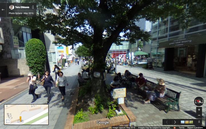
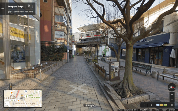
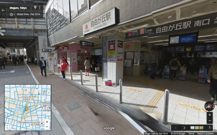
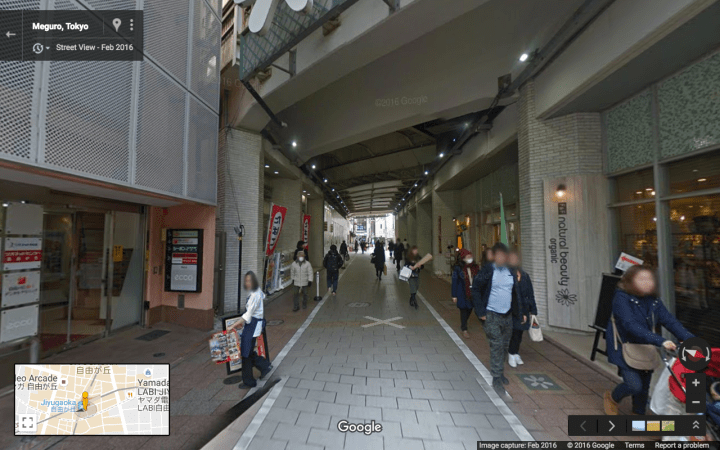
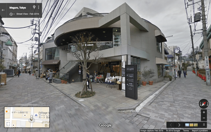
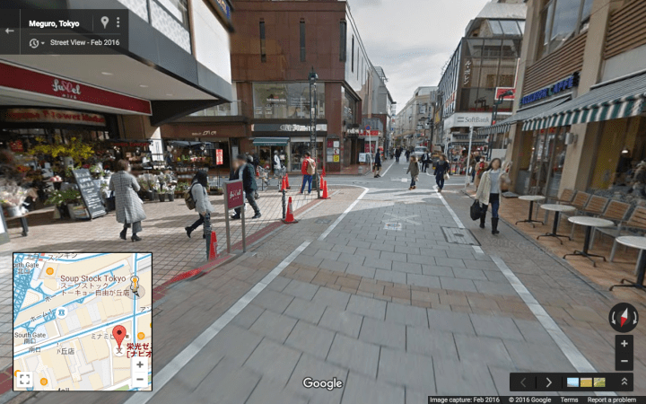
Jiyugaoka manages to achieve this incredible density of commerce while maintaining a fairly low profile facing the street:

pega_J_map
This schematic by Pega Samoamuang shows the strong connection to the street

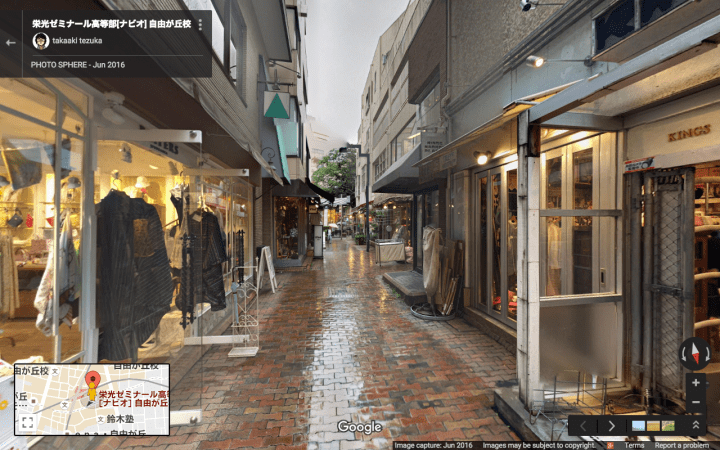
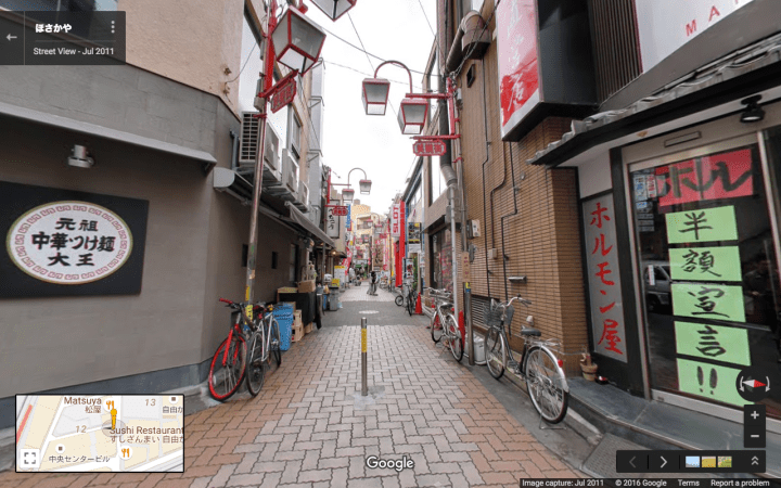
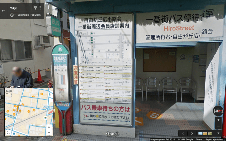
Photospheres (click the photo to see photosphere):

people-on-green-street
Green Street
train-passing-over-green-street
A train passing over Green Street
jiyugaoka-south-entrance
The south entrance to Jiyugaoka Station, directly on Marie Claire Street
marie-claire-street-passing-under-the-rr-tracks
Marie Claire Street passing under the rail road tracks


screen-shot-from-photosphere-in-kurinoki-street
A beautiful alley between Marie Claire Street and Green Street


maple-street-looking-south
A stub alley west of the station
intersection-of-two-pedestrian-alleys
At the intersection of two alleys on north side of station
bollard-protected-alleys-ne-of-station
A small network of bollard protected alleys on north-east side of station
wayfinding
Area map at a local bus stop (listing 59 businesses within a minute’s walk)
looking-south-on-pedestrian-mall
The north-south mall on south-east side of station
Advertisement

One thought on “Walkable City – Jiyugaoka (自由が丘)

Leave a Reply

Fill in your details below or click an icon to log in:

WordPress.com Logo

You are commenting using your WordPress.com account. Log Out /  Change )

Facebook photo

You are commenting using your Facebook account. Log Out /  Change )

Connecting to %s

This site uses Akismet to reduce spam. Learn how your comment data is processed.