


The walkability of central Kamakura is defined by three north-south spines:
- The Komachi-Dori Shotengai (nighttime walk-through video)
- Car-free Hokoten every day from 4 pm to 7 pm (Sundays and holidays 10 am to 4 pm).
- Stretches 590 meters (1,940 feet) north from Kamakura Station (JR East and Enoshima/Enoden lines) to Hachimangu Shrine.
- The Onari-Dori Shotengai (daytime walk-through video)
- Car-free Hokoten every day from 4 pm to 7 pm (Sundays and holidays 10 am to 7 pm). Note the longer Sunday hours, compared to Komachi-Dori.
- Spans 330 meters (1,090 feet) south from Kamakura Station.
- The Dankazura path (hyperlapse walk-through video, starting from south end)
- Tree lined walking path in the center of Wakamiya Ave.
- Runs 480 meters (1,570 feet) south from Hachimangu main gate to (almost) Kamakura Station, with zero vehicular crossings.
- Further south, the central path ends, but wide sidewalks (20-30 feet) continue on both sides for another 1,300 meters (4,300 feet), all the way to Yuigahama beach on the Pacific ocean.
The whole area between Komachi-Dori and Wakamiya Avenue is naturally very pedestrian friendly, being comprised of slow woonerf-type streets such as this one.
–
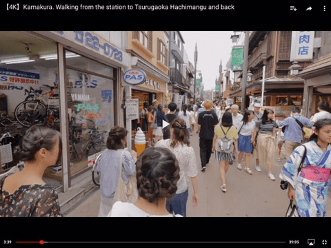
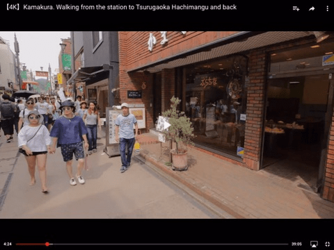
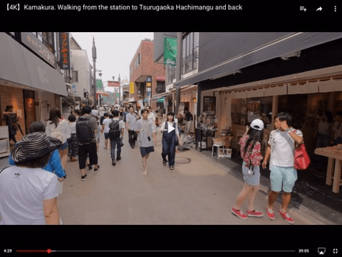
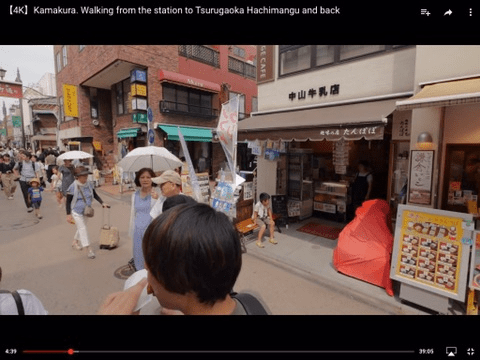
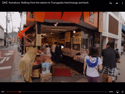
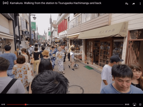
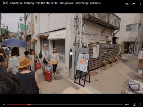
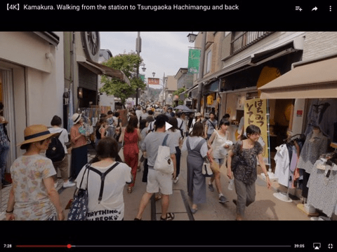
Here are some screenshots from the Komichi+Dankazura walk-through video by Rambalac
JR Kamakura Station:

Wayfinding in front of JR Kamakura Station (the first map appears to be in Pontevedra MetroMinuto style for bicyclists):


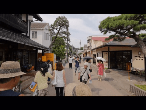
Walking north on Komichi-Dori (just inside the red torii gate):

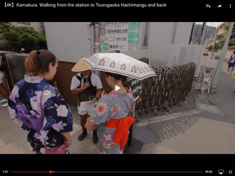
Jinrikisha / rickshaw:


The last three screenshots were taken in a 10 second period. This is one of the benefits of fine-grained urbanism; it’s never boring, even if you walk quite slowly.
Looking west down a cross-street:
Looking west into an alley:


Peeking east into an alley:
More wayfinding:
Looking west down a cross-street:


The following map, showing 70+ shops lining Onari-Dori Shotengai, is from kamakura-guide. Follow the link for more info (in Japanese) and dozens of excellent photos.

The south end of Onari-Dori Shotengai runs into the Yuigahama Shotengai (shown above as 長谷小路). The map below, from City of Kamakura, shows shops along the Yuigahama Shotengai. One lane each way, 40 kmh (25 mph).
- Blue: retail shops
- Red: horeca (places selling ready to eat food or drink)
- Green: service businesses

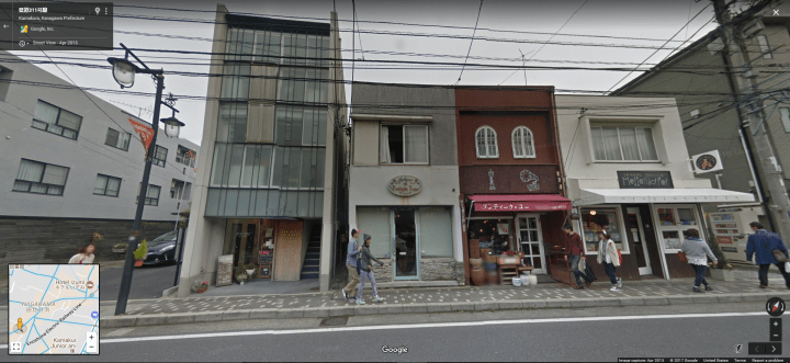
Screenshots of Yuigahama from Google StreetView:


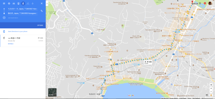
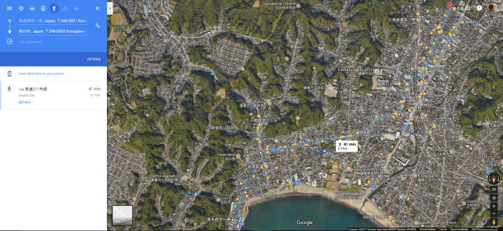
Kamakura is very compact; this 41 minute walk covers Komichi-Dori, Yuigahama Shotengai, and the commercial areas around Hase station. Starred locations are:
- Cafes
- Bakeries & Pastry Shops (not including Japanese style sweets shops)
- Shops specializing in Chocolate
- Ice Cream Shops
[you might call this a “Jiyugaoka style tour”]

Thanks to Twitter user @Hiro_Bruno for the link to https://kamakura-guide.jp/shopping_lunch_onaridouri.
LikeLike