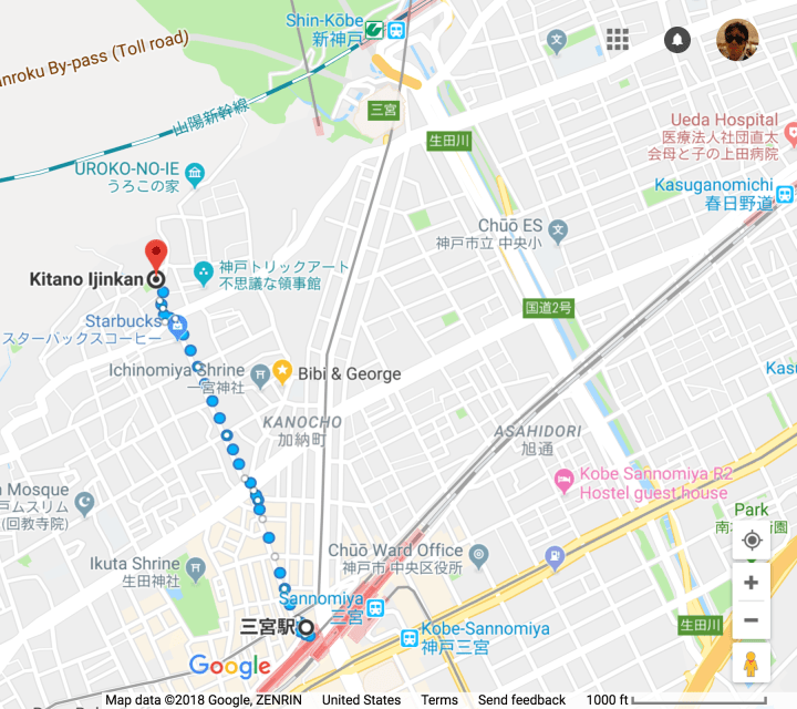
 The Kitano-ijinkan area is a unique historic neighborhood located in the foothills near Sannomiya Station. This post covers a neighborhood including parts of Kitano-cho (北野町), Yamamoto-Dori (山本通), and Naka-Yamate-Dori (中山手通).
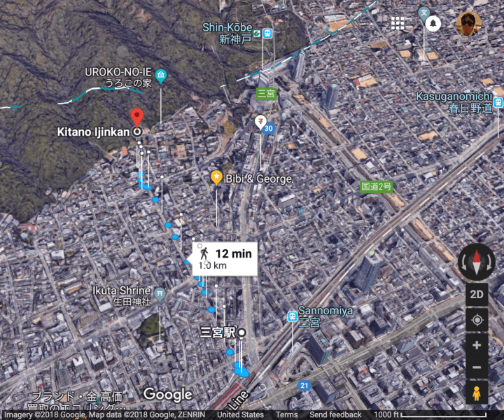
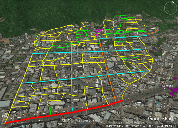 The streets above are highlighted hierarchically as follows:
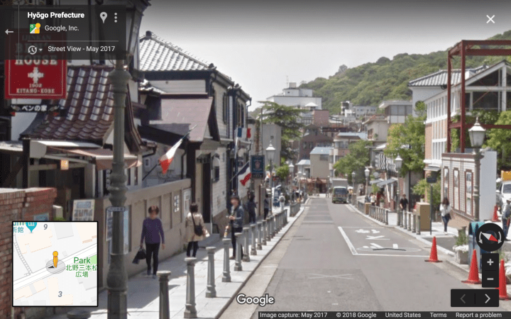
– Magenta: A pedestrian plaza and shopping street, with high density of tourists.
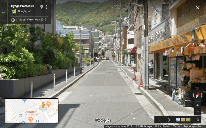
– Cyan: Single Lane One Way (minimal road width, maximum sidewalk width).
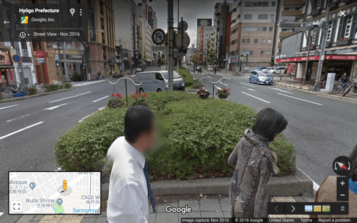
– Red: “Busy” Boulevards.
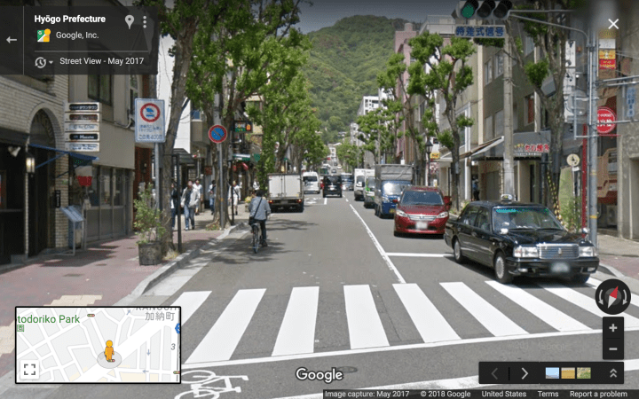
– Orange: “Quiet” Boulevards.
– Yellow: Woonerfs & Narrow Streets.
– Green: Laneways. Only a fraction (2/3?) are highlighted.
Purple structure in lower right: a large pedestrian overpass.
Note that the whole highlighted area lies within a single island of walkability.
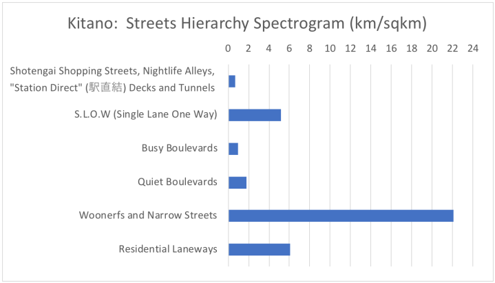
The Hierarchy of Japanese Streets categorizes the highlighted streets as follows* (with stats given for this area specifically):
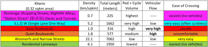
* Only a fraction (2/3?) of the Laneways are counted and highlighted (green).
Streets Hierarchy, Illustrated
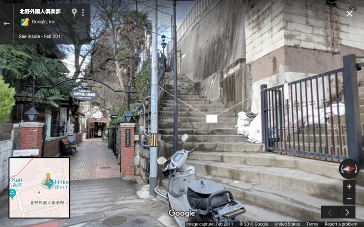
Level 6, highly trafficked pedestrian streets (and steps / plaza):

[the following screencap from a photosphere by Michael Ni]
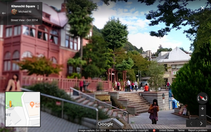
This plaza has a fantastic view overlooking downtown Kobe: photosphere.
Level 5, SLOW streets (note the bollards):
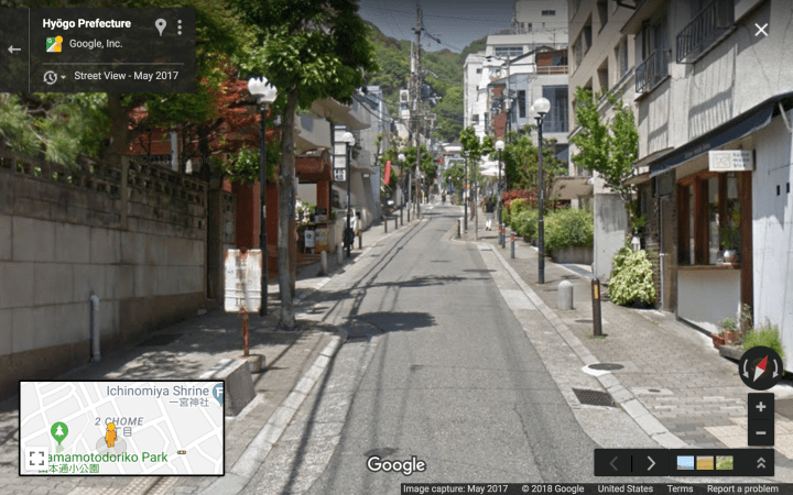
On a relatively wide SLOW street like below, hard bollards are absolutely critical for raising drivers’ perception of their own speed:
Level 4, Busy Boulevards:
Level 3, Quiet Boulevards:
Level 2, Woonerfs and Narrow Streets:

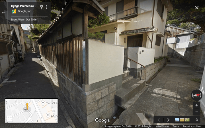
Level 1, Residential Laneways: