Analysis of the area NE of the Sannomiya Stations, around the Ninomiya Shotengai.
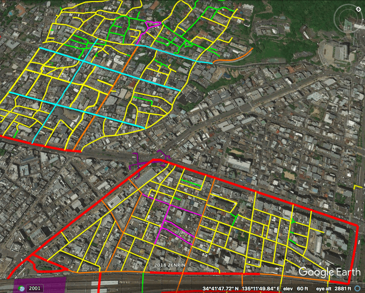
Above: the highlighted area in the upper-left is the Kitano Ijinkan neighborhood. The highlighted area at the bottom is the subject area.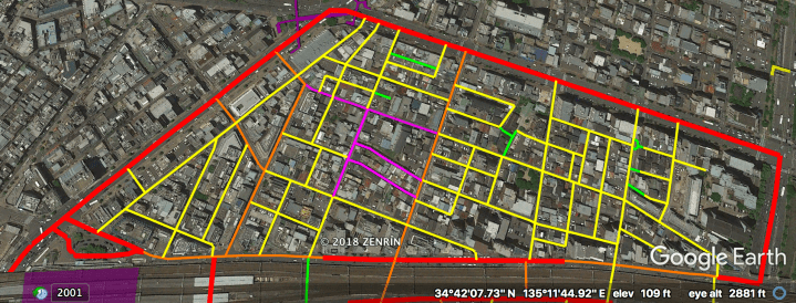
The streets above are highlighted hierarchically as follows:
– Magenta: Covered arcades and open-air shopping streets.
– Red: “Busy” Boulevards.
– Orange: “Quiet” Boulevards.
– Yellow: Woonerfs & Narrow Streets.
– Green: Stairs and car-free Laneways.
– Purple block at bottom: JR Sannomiya Station.
– Purple structure at top: pedestrian bridge.
Note that the whole highlighted area comprises a single island of walkability.
The Hierarchy of Japanese Streets categorizes the highlighted streets* as follows (with stats given for this area specifically):
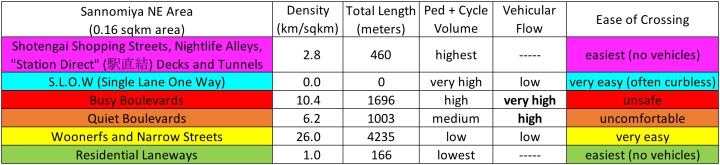
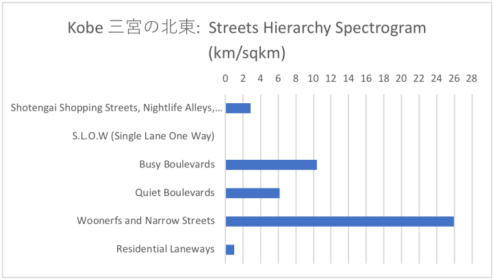
*The north-south streets under the elevated tracks are not included in these stats.
Streets Hierarchy, Illustrated
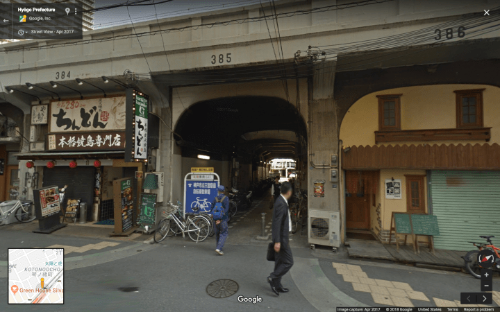
Level 6, Covered shopping arcades:
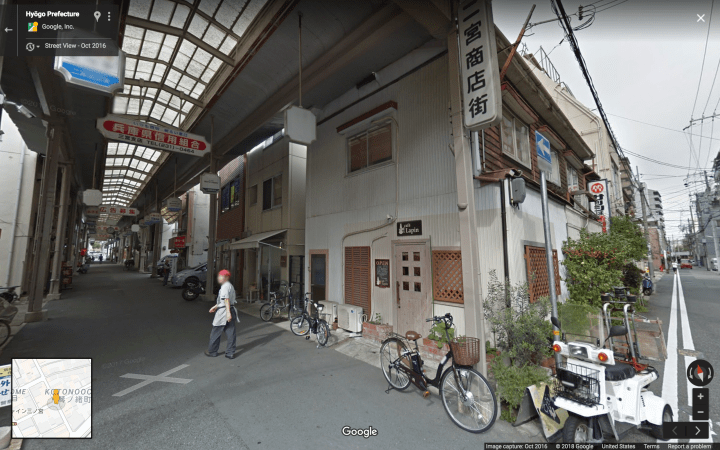
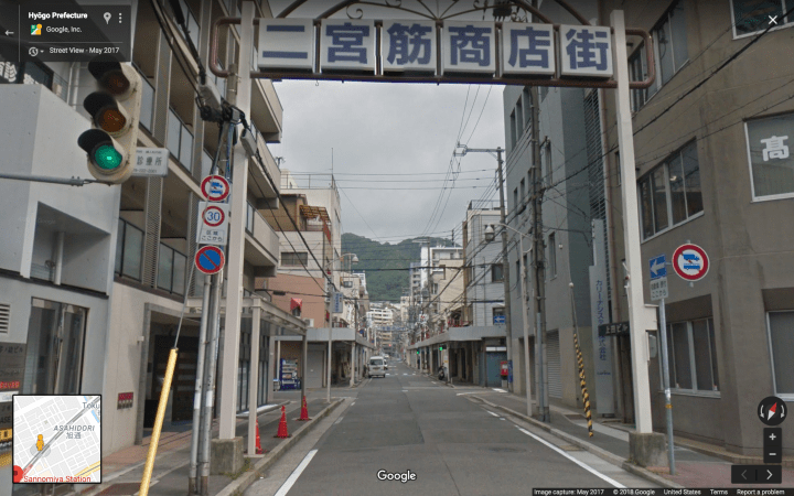
Level 6, Open-air shopping street:
[this one is not fully pedestrianised, but appears to be de-facto car-free at busy times.]
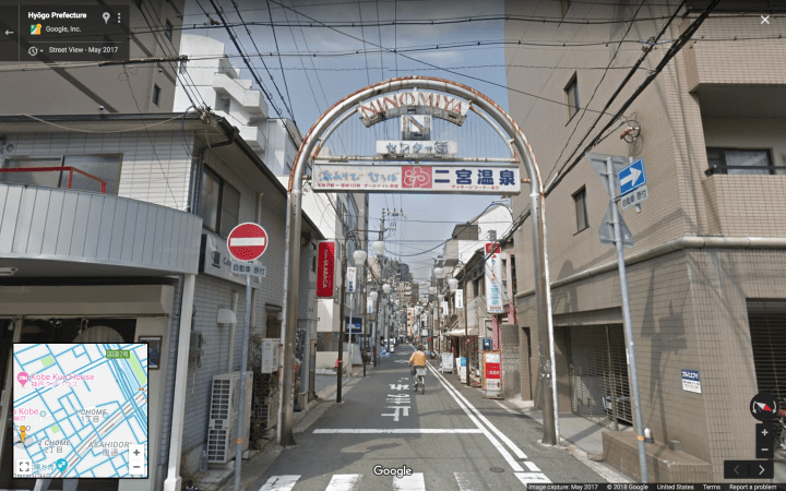
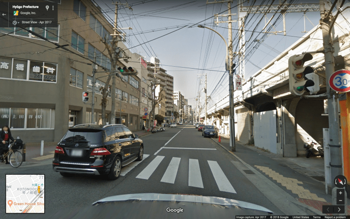
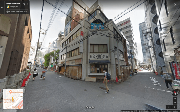
Level 4, “Busy” Boulevards:
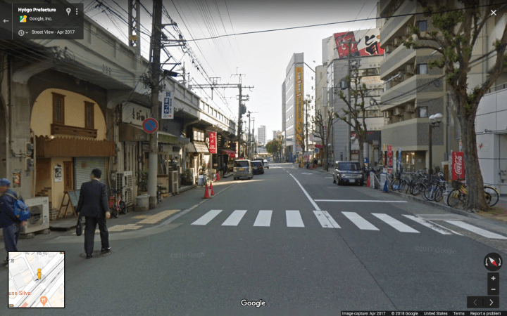
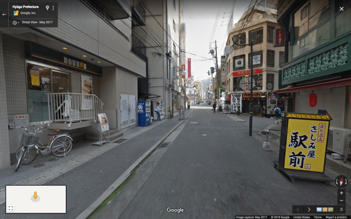
Level 3, “Quiet” Boulevards:
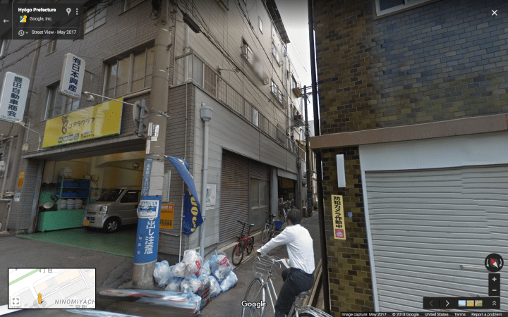
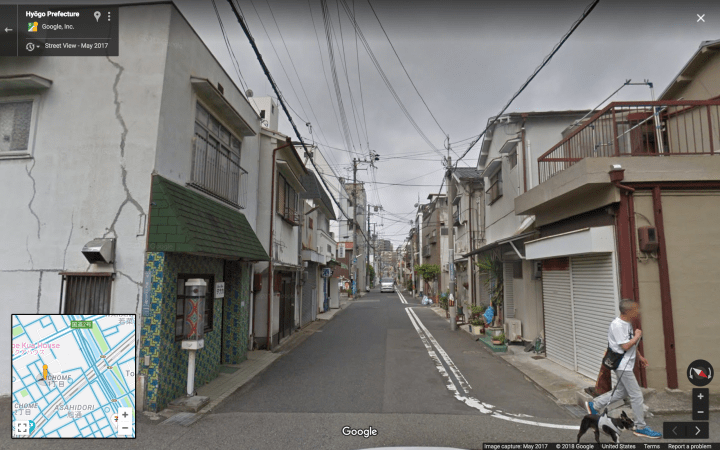
Level 2, Woonerfs and Narrow Streets:

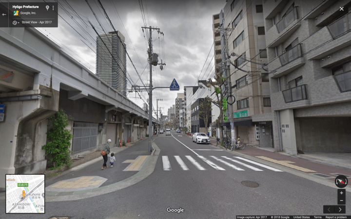
Level 1, Laneways: