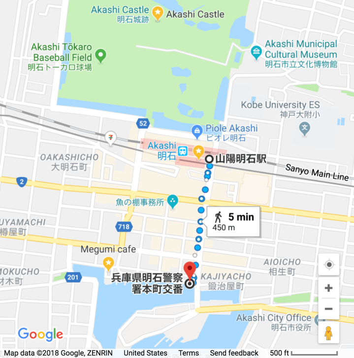


 Downtown Akashi, nestled between the Akashi Strait and the remains of Akashi Castle, is one of the world’s most compact city centers. It is just a 5 minute walk from the station cluster (JR Akashi and Sanyo Akashi) to the waterfront (450 meters, 1/4 mile).
JR Akashi Station (and adjacent Sanyo Akashi Station), are 23 minutes from Sannomiya Station, and about 40 minutes from Himeji Station.
By Shinkansen (1 station west from downtown Akashi), it is only 10 minutes to Himeji, or 8 minutes to Shin-Kobe, but neither trip is cheap (2840 yen to Himeji, 2640 yen to Shin-Kobe).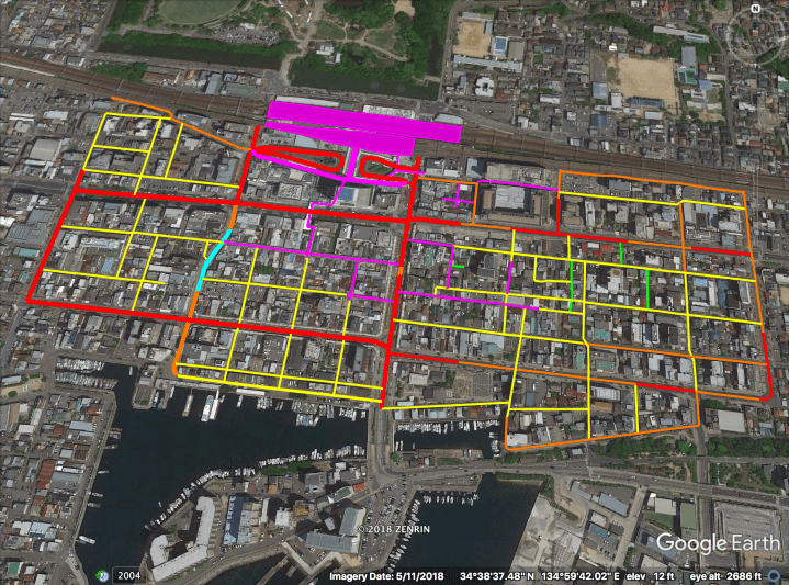
The streets above are highlighted hierarchically as follows:
– Magenta: Arcades, “nightlife alleys”, and Station Direct Linked deck levels etc…
– Magenta blocks near top: Sanyo and JR Akashi Stations (山陽明石駅&JR明石駅).
– Cyan: Quasi S.L.O.W. street.
– Red: “Busy” Boulevards (including two bus loops).
– Orange: “Quiet” Boulevards.
– Yellow: Woonerfs & Narrow Streets.
– Green: Laneways. Only some (1/2?) are highlighted.
Note that the highlighted area lies within 4 separate islands of walkability (three of which extend beyond the highlighted area), bridged only by relatively narrow skyways at Deck Level and a short neckdown .
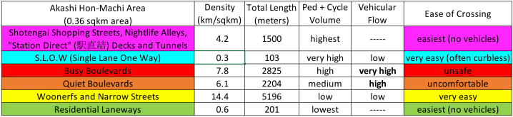
The Hierarchy of Japanese Streets categorizes the highlighted streets as follows* (with stats given for this area specifically):
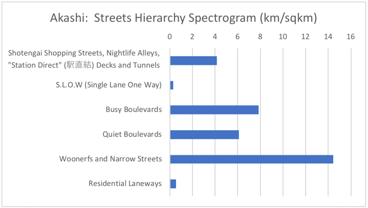
* Only some (1/2?) of the Laneways are counted and highlighted (green).
Street Hierarchy, Illustrated
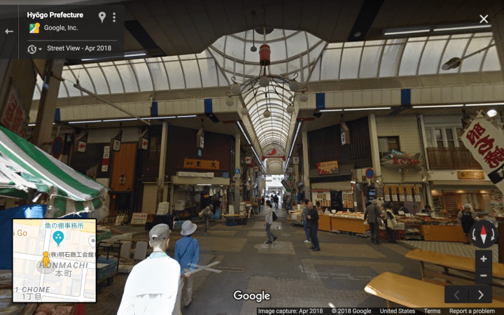
Level 6A, Covered Shopping Arcade:
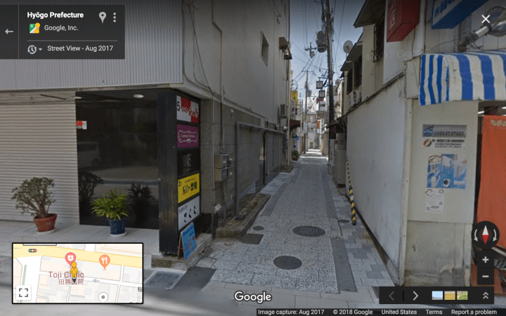
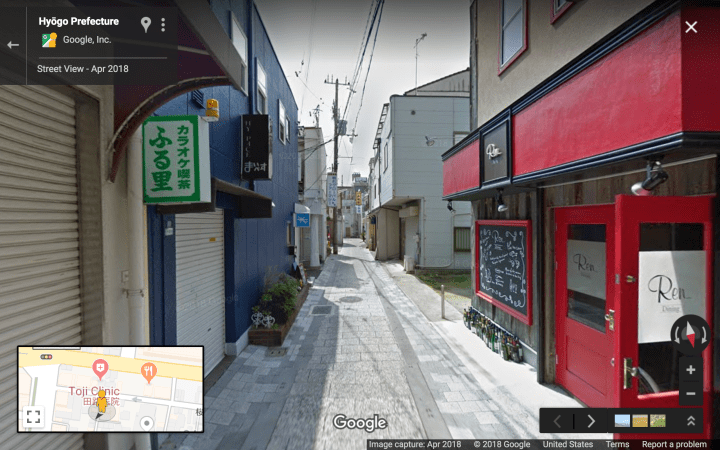
Level 6B, Nightlife Alley (not very activated in daytime):
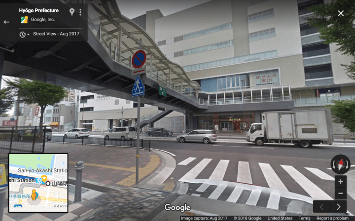
Level 6C, Station Direct Linked Deck:
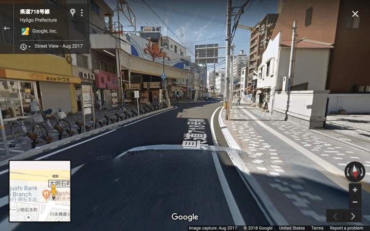
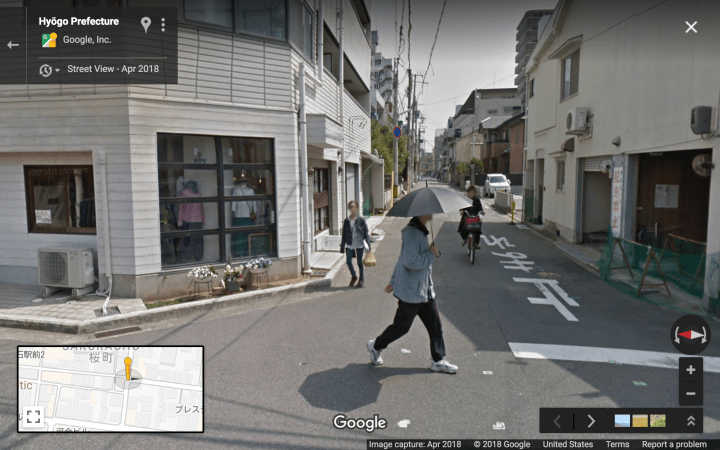
Level 5: Quasi SLOW street:
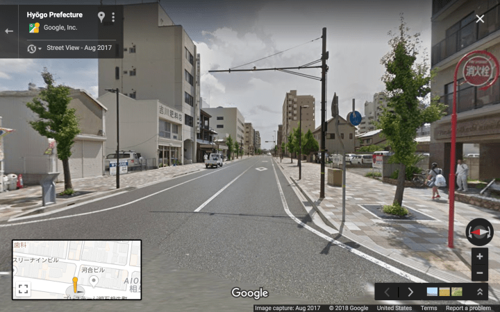
Level 4, “Busy” Boulevard:
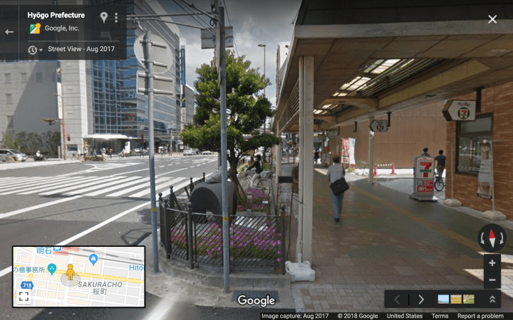
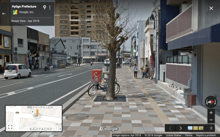
Level 3, “Quiet” Boulevard:
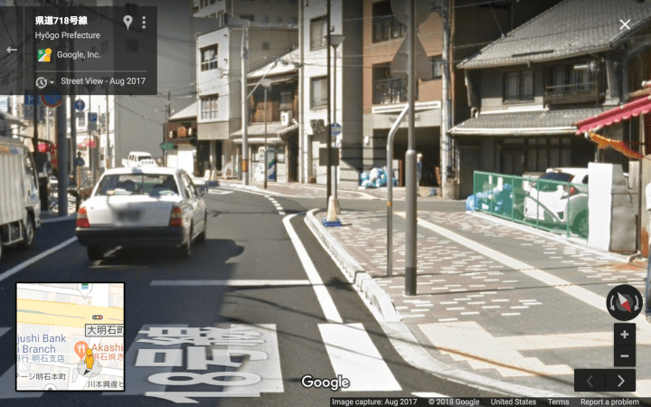
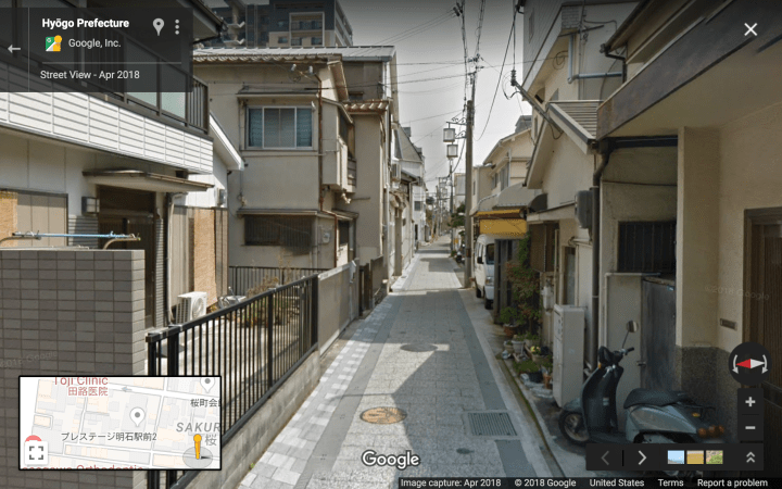
Level 2, Woonerfs and Narrow Streets:
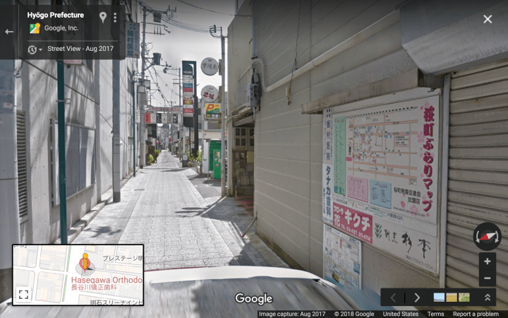
Wayfinding Map: