

Map from feel-kobe.jp [red marker added]
Analysis of the Foreign Settlement area SW of Sannomiya Stations. Not to be confused with the Kitano Ijinkan Area.
The Foreign Settlement occupies a roughly 1/3 square kilometer (80 acre) area SW of Sannomiya; basically the whole area between the Center-Gai arcades and Kaigan-Dori (the wide surface avenue running along the coast).
Notable characteristics of the Foreign Settlement:
– Wide sidewalks and narrow vehicular ROW.
– Virtually every street lined with trees.
– Virtually zero Woonerf / Shared streets.
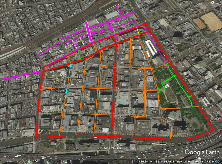
The streets above are highlighted hierarchically as follows:
– Magenta (on north border and near NE border of the Foreign Settlement): Tunnels directly linked to the Sannomiya station cluster.
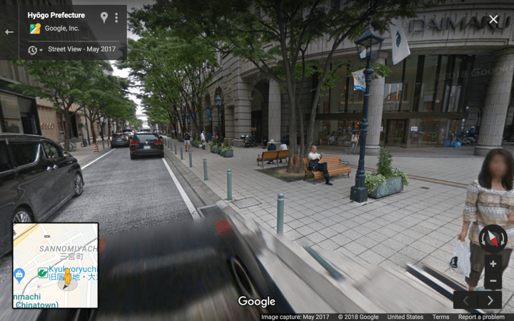
– Cyan: Single Lane One Way (minimal road width, maximum sidewalk width).
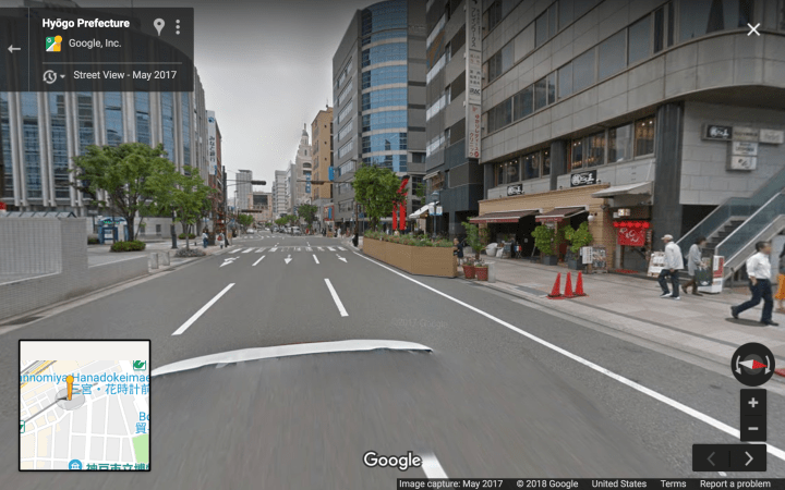
– Red: “Busy” Boulevards.
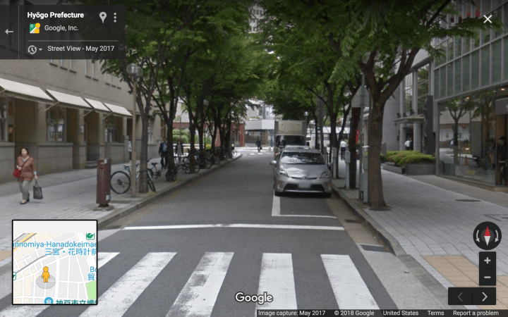
– Orange: “Quiet” Boulevards.
– Yellow: Woonerfs & Narrow Streets.
– Green: Passeos and Park Laneways.
*** Outside of Foreign Settlement: ***
– Magenta blocks: Covered shopping streets of the Center-Gai arcades (not included in stats below).
– Magenta blocks with white outline: Open air pedestrian shopping streets (not included in stats below).
– Magenta block running west off the screen: the Motomachi Arcade.
Note that the most of the highlighted area lies within two islands of walkability.
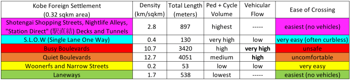
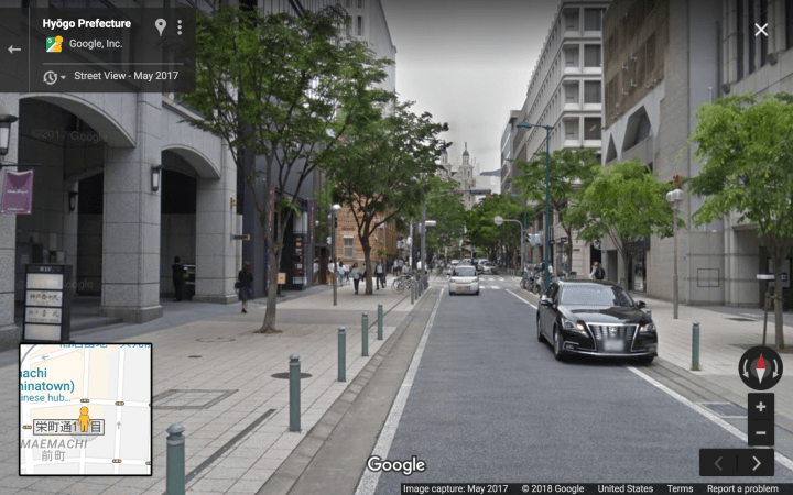
The Hierarchy of Japanese Streets categorizes the highlighted streets as follows (with stats given for this area specifically):
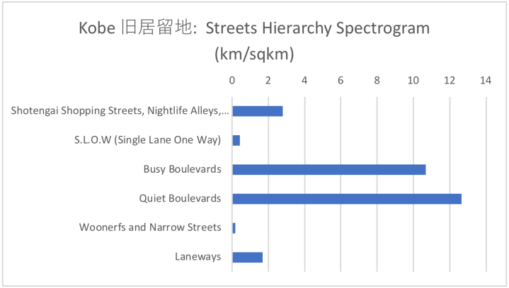
Streets Hierarchy, Illustrated
Level 6D, station direct linked tunnels:
[NB: this screenshot taken outside the highlighted area] 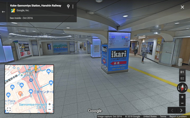
Level 5, SLOW streets (vehicular road width minimized with steel bollards):
Level 4, “Busy” Boulevards:

Level 3, “Quiet” Boulevards:
Level 2 & Level 1: Not Pictured.
